Seaport · Japan
HitachiJPHTC
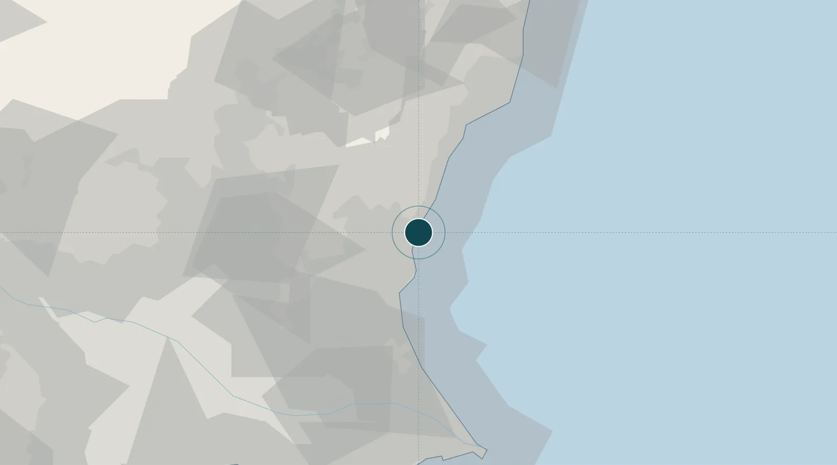
36.5000°, 140.6333°
7.9 m
Channel depth
1
Container terminals
9.3
Port liner connectivity
Channel & Berth Profile
Pilotage, Tugs & Services
Pilotage compulsoryNO
Pilotage availableYES
Tug assistanceYES
Potable waterYES
Facilities & Capabilities
Container—
Ro-Ro—
Liquid bulk—
Dry bulk—
Oil terminal—
Break bulk—
Dry dock—
RepairsNO
Bunkering—
Rail link—
Dangerous cargo—
ISPS security—
Harbour Specifications
Harbour size
Very Small
Harbour type
River (Basins)
Shelter
Fair
Water body
North Pacific Ocean
Tidal range
1 m
Pilotage
No
Liner Connectivity
9.3
PLSCI
Port Liner Shipping Connectivity Index for Hitachi, as published by UNCTAD for the latest available quarter. Higher values indicate stronger scheduled liner-shipping integration.
Shown relative to the highest per-port PLSCI in the dataset (1,657.9).
Location
Container Terminals · 1
HITACHI MINATO, NO. 4 WHARF, C/D BERTH
HTDAI IBARAKI PORT AUTHORITY
Nearby Logistics Neighbours
Ports
- 1Onahama Ko54 km
- 2Kashima Ko63 km
- 3Choshi87 km
- 4Funabashi111 km
- 5Chiba Ko114 km
Cities
- 1Hitachinaka8 km
- 2Naka15 km
- 3Kasama38 km
- 4Omitama39 km
- 5Mashiko48 km
Airports
- 1Ibaraki International Airport41 km
- 2Utsunomiya Airport68 km
- 3Fukushima Airport83 km
- 4Narita International Airport84 km
- 5JMSDF Shimofusa Air Base96 km
DatabookThe Record of Consolidated Knowledge
Japan beyond logistics?