Medium airport · Japan
Utsunomiya AirportRJTU
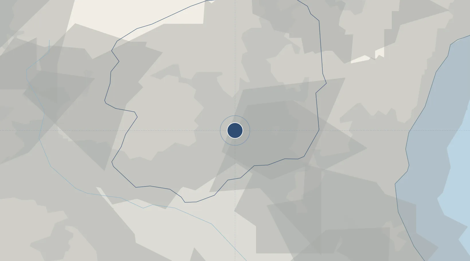
36.5145°, 139.8710°
5,570 ft
Longest runway
1
Runways
334 ft
Elevation
Runway & Layout

Radio Frequencies
TWR
23.68 MHz
APP
120.1 MHz
Navaids
JD NDB Nikko 389 kHz
JDT TACAN Utsunomiya 112.15 MHz
Runways · 1
| Runway | Dimensions | Surface | True heading | Lit |
|---|---|---|---|---|
| 01/19 | 5,570 × 150ft | Concrete | 004° | — |
Airport Specifications
ICAO code
RJTU
Airport class
Medium airport
Scheduled service
No
Runway surface
Concrete
Served city
Utsunomiya
Location
Nearby Logistics Neighbours
Airports
- 1Ibaraki International Airport61 km
- 2JMSDF Shimofusa Air Base81 km
- 3Iruma Air Base85 km
- 4Fukushima Airport94 km
- 5Narita International Airport95 km
Ports
- 1Hitachi68 km
- 2Funabashi95 km
- 3Tokyo Ko95 km
- 4Kashima Ko99 km
- 5Onahama Ko103 km
Trade Zones
- 1Tsukuba International Strategic Comprehensive Special Zone63 km
- 2Kashiwanoha Campus Special Zone70 km
- 3Saitama Next-Generation Automobile Smart Energy Special Zone70 km
- 4Gunma Cancer Treatment Technology Regional Revitalization Comprehensive Special Zone75 km
- 5Gunma Environmentally Friendly Livestock Promotion Special Zone85 km
DatabookThe Record of Consolidated Knowledge
Japan beyond logistics?