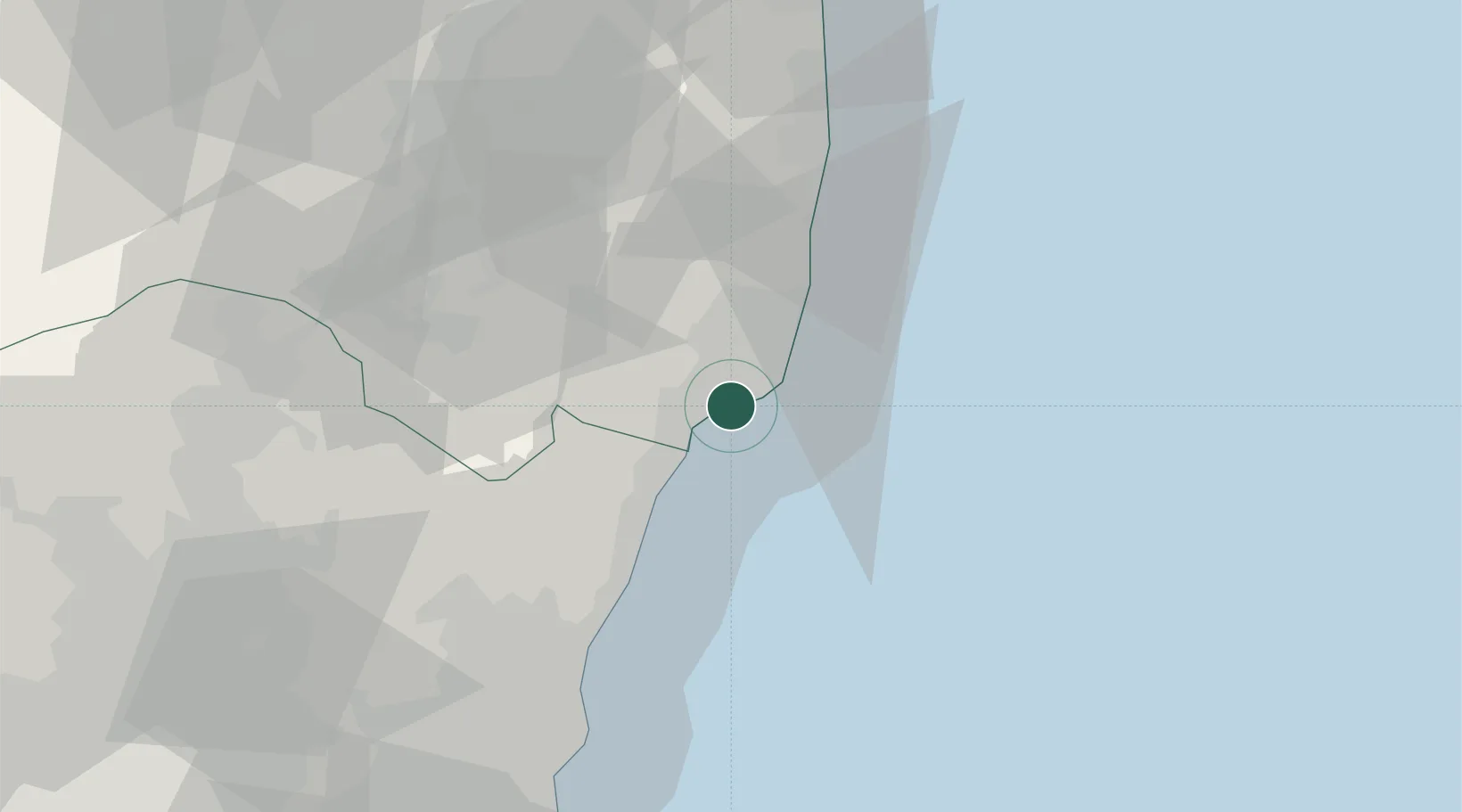
UN/LOCODE hub · Japan
JPONA

Onahama

36.9244°, 140.8712°
1
Transport functions
1
Container terminals

Transport Functions

Port
Onahama is also a profiled seaport →
UN/LOCODE

Hub Profile

Place type
Populated place
GeoNames
Region
Fukushima
GeoNames
Time zone
Asia/Tokyo
GeoNames
Elevation
8 m
GeoNames
Logistics facilities
4
UN/LOCODE
Container terminals
1
UN/LOCODE

Location

Location of JPONA
Natural Earth 10m (public domain) · Fukushima · JPONA · 36.92, 140.87GoogleOSMYandex

Nearby Logistics Neighbours

Cities
  1. 1Tanagura, Fukushima46 km
  2. 2Hitachi53 km
  3. 3Hitachinaka59 km
  4. 4Tamura63 km
  5. 5Naka63 km
Nearest neighbours — logibook spatial index (haversine) over the source coordinates
Ports
  1. 1Hitachi52 km
  2. 2Soma101 km
  3. 3Kashima Ko111 km
  4. 4Choshi133 km
  5. 5Sendai-Shiogama156 km
Nearest neighbours — logibook spatial index (haversine) over the source coordinates
Airports
  1. 1Fukushima Airport52 km
  2. 2Ibaraki International Airport92 km
  3. 3Utsunomiya Airport100 km
  4. 4Sendai Airport135 km
  5. 5Narita International Airport136 km
Nearest neighbours — logibook spatial index (haversine) over the source coordinates
DatabookThe Record of Consolidated Knowledge
Japan beyond logistics?
Browse databook

All Sources

LocationsUN/LOCODE
UN/LOCODE — free
Portsthe NGA World Port Index
Public domain (US gov)
AirportsOurAirports
Public domain
Trade Zonesthe World Bank SEZ database
CC BY 4.0
Trade ZonesOpen Zone Map
CC BY
← Japan locations