Diversified Zone · Japan
Sendai City Strategic Special Zone Active
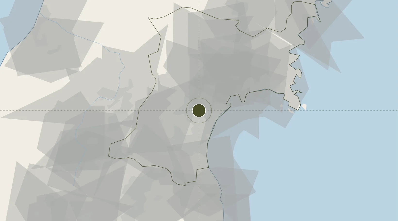
38.2668°, 140.8694°
30,359 ha
Zone area
15.3 km
Nearest port
14.7 km
Nearest airport
Gateway access
Zone profile
Zone type
Diversified Zone
Region
Miyagi
Status
Active
Management
Public
Operator
Sendai City
Legal framework
National Strategic Special Zones Law (2013 Law No. 107)
Location
Nearby Logistics Neighbours
Ports
- 1Sendai-Shiogama15 km
- 2Ishinomaki Ko42 km
- 3Soma49 km
- 4Onagawa55 km
- 5Kesennuma Ko92 km
Airports
- 1Sendai Airport15 km
- 2JASDF Matsushima Air Base34 km
- 3Yamagata Airport46 km
- 4Shonai Airport112 km
- 5Fukushima Airport122 km
Cities
- 1Tomiya13 km
- 2Sendai, Miyagi13 km
- 3Sendaishiogama13 km
- 4Sagae54 km
- 5Tome-Shi56 km
DatabookThe Record of Consolidated Knowledge
Japan beyond logistics?