Medium airport · Japan
Fukushima AirportRJSF
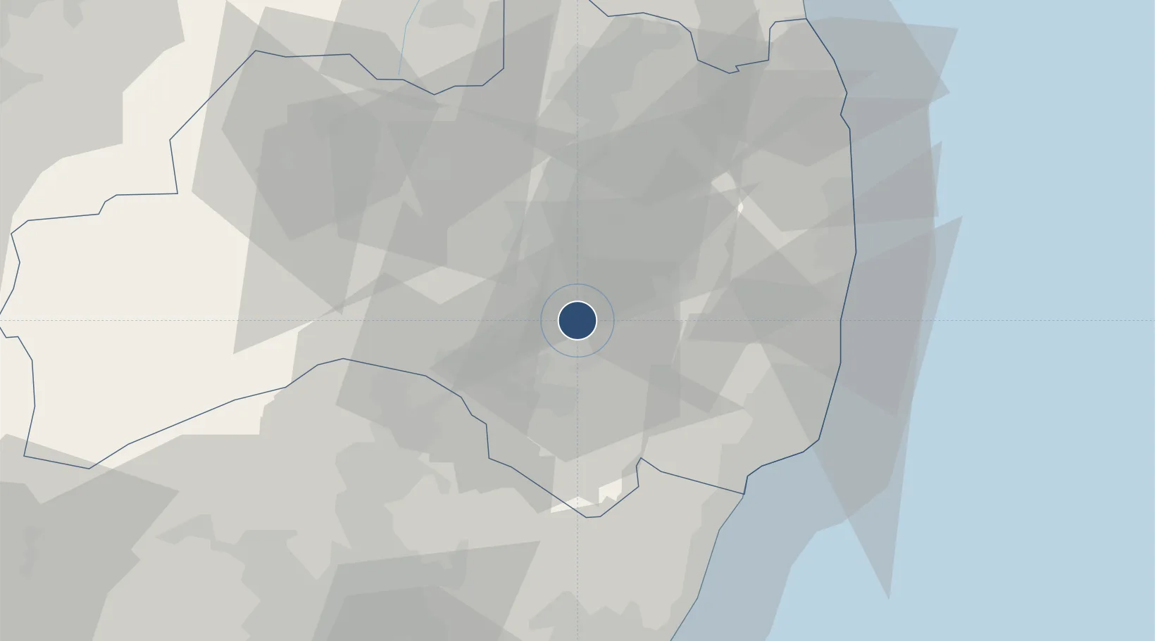
37.2274°, 140.4310°
8,202 ft
Longest runway
1
Runways
1,221 ft
Elevation
Runway & Layout

Radio Frequencies
RDO
118.05 MHz
Navaids
FKE VOR-DME Fukushima 113.45 MHz
Runways · 1
| Runway | Dimensions | Surface | True heading | Lit |
|---|---|---|---|---|
| 01/19 | 8,202 × 197ft | Asphalt | 002° | ✓ |
Airport Specifications
IATA code
FKS
ICAO code
RJSF
Airport class
Medium airport
Scheduled service
Yes
Runway surface
Asphalt
Served city
Sukagawa
Location
Nearby Logistics Neighbours
Airports
- 1Utsunomiya Airport94 km
- 2Sendai Airport110 km
- 3Ibaraki International Airport116 km
- 4Yamagata Airport132 km
- 5Niigata Airport142 km
Cities
- 1Shirakawa24 km
- 2Tanagura, Fukushima24 km
- 3Tamura26 km
- 4Nihonmatsu40 km
- 5Nasushiobara45 km
Ports
- 1Onahama Ko53 km
- 2Soma81 km
- 3Hitachi83 km
- 4Sendai-Shiogama132 km
- 5Eastern Part Of Niigata-Ko137 km
DatabookThe Record of Consolidated Knowledge
Japan beyond logistics?