Large airport · Japan
Sendai AirportRJSS
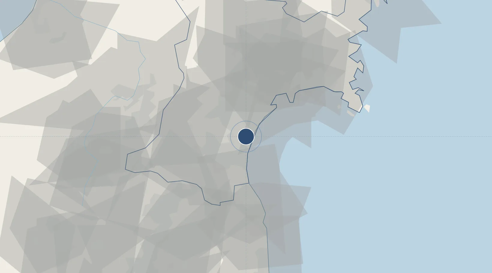
38.1397°, 140.9170°
9,842 ft
Longest runway
2
Runways
15 ft
Elevation
Runway & Layout

Radio Frequencies
ATIS
126.45 MHz
TWR
118.7 MHz
GND
121.7 MHz
APP
120.4 MHz
DEP
120 MHz
TCA
121.025 MHz
Navaids
SDE VOR-DME Sendai 116.30 MHz
Runways · 2
| Runway | Dimensions | Surface | True heading | Lit |
|---|---|---|---|---|
| 09/27 | 9,842 × 150ft | Asphalt | 082° | ✓ |
| 12/30 | 3,940 × 150ft | Asphalt | 118° | ✓ |
Airport Specifications
IATA code
SDJ
ICAO code
RJSS
Airport class
Large airport
Scheduled service
Yes
Runway surface
Asphalt
Served city
Natori
Location
Nearby Logistics Neighbours
Airports
- 1JASDF Matsushima Air Base40 km
- 2Yamagata Airport57 km
- 3Fukushima Airport110 km
- 4Shonai Airport124 km
- 5Iwate Hanamaki Airport145 km
Cities
- 1Sendai, Miyagi17 km
- 2Sendaishiogama17 km
- 3Tomiya27 km
- 4Sagae62 km
- 5Tome-Shi65 km
Ports
- 1Sendai-Shiogama22 km
- 2Soma34 km
- 3Ishinomaki Ko45 km
- 4Onagawa58 km
- 5Kesennuma Ko100 km
DatabookThe Record of Consolidated Knowledge
Japan beyond logistics?