Channel & Berth Profile
Pilotage, Tugs & Services
Tug assistanceYES
Shore powerYES
Potable waterYES
MedicalYES
Facilities & Capabilities
Container—
Ro-Ro—
Liquid bulk—
Dry bulk—
Oil terminal—
Break bulk—
Dry dock—
Repairs—
Bunkering—
Rail linkYES
Dangerous cargo—
ISPS security—
Harbour Specifications
Harbour size
Very Small
Harbour type
River (Natural)
Shelter
Fair
Water body
North Pacific Ocean
Tidal range
2 m
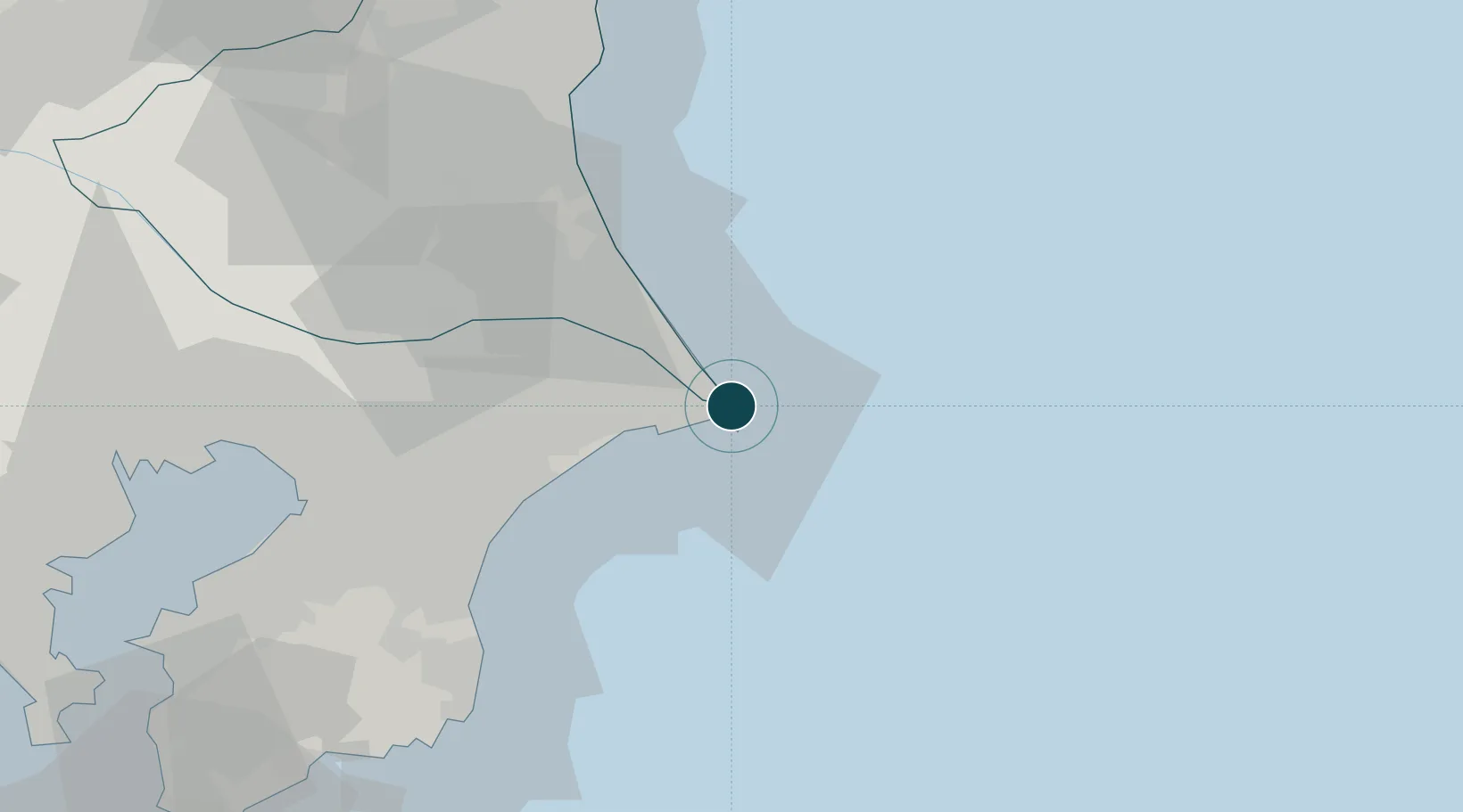
Location
Nearby Logistics Neighbours
Ports
- 1Kashima Ko26 km
- 2Chiba Ko73 km
- 3Funabashi82 km
- 4Hitachi87 km
- 5Kisarazu Ko97 km
Cities
- 1Kashima, Ibaraki28 km
- 2Katori32 km
- 3Katori-Gun39 km
- 4Futtsu, Chiba45 km
- 5Tomisato47 km
Airports
DatabookThe Record of Consolidated Knowledge
Japan beyond logistics?