Medium airport · Japan
Ibaraki International AirportRJAH
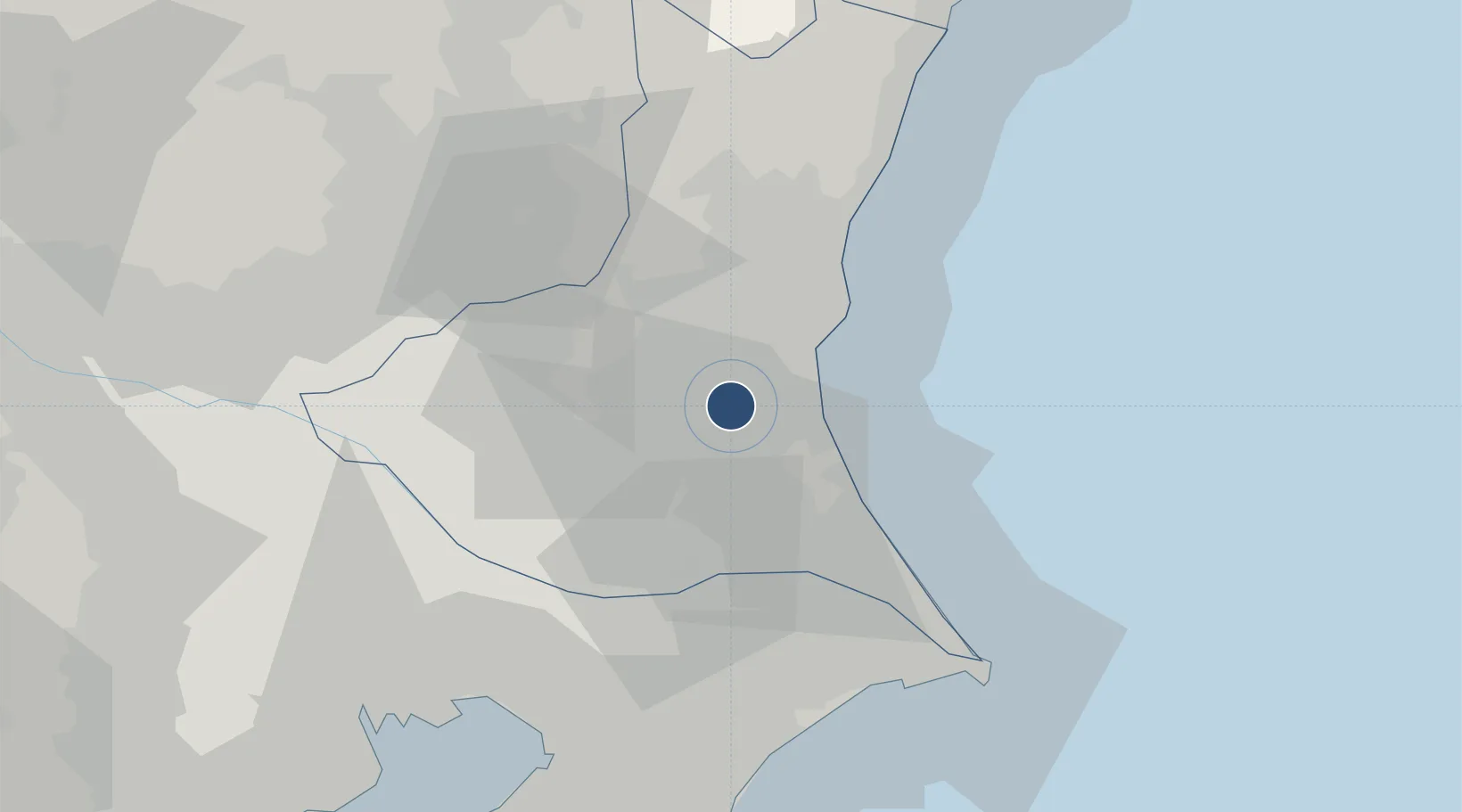
36.1815°, 140.4144°
8,860 ft
Longest runway
1
Runways
105 ft
Elevation
Runway & Layout

Radio Frequencies
TWR
126.2 MHz
GND
27.58 MHz
APP
120.1 MHz
DEP
36.23 MHz
TCA
124.8 MHz
Navaids
HUT TACAN Hyakuri 113.30 MHz
Runways · 1
| Runway | Dimensions | Surface | True heading | Lit |
|---|---|---|---|---|
| 03/21 | 8,860 × 150ft | Concrete | 020° | ✓ |
Airport Specifications
IATA code
IBR
ICAO code
RJAH
Airport class
Medium airport
Scheduled service
Yes
Runway surface
Concrete
Served city
Omitama
Location
Nearby Logistics Neighbours
Airports
- 1Narita International Airport46 km
- 2JMSDF Shimofusa Air Base56 km
- 3Utsunomiya Airport61 km
- 4Tokyo Haneda International Airport90 km
- 5Iruma Air Base98 km
Cities
- 1Omitama8 km
- 2Ishioka13 km
- 3Chiyoda18 km
- 4Kasumigaura24 km
- 5Kasama28 km
Ports
- 1Kashima Ko38 km
- 2Hitachi41 km
- 3Choshi63 km
- 4Funabashi71 km
- 5Chiba Ko74 km
DatabookThe Record of Consolidated Knowledge
Japan beyond logistics?