Channel & Berth Profile
Pilotage, Tugs & Services
Pilotage compulsoryNO
Pilotage availableYES
Pilotage advisableYES
Tug assistanceYES
Potable waterYES
Facilities & Capabilities
Container—
Ro-Ro—
Liquid bulk—
Dry bulk—
Oil terminal—
Break bulk—
Dry dock—
RepairsNO
BunkeringYES
Rail linkYES
Dangerous cargo—
ISPS security—
Harbour Specifications
Harbour size
Very Small
Harbour type
Coastal (Breakwater)
Shelter
Poor
Water body
North Pacific Ocean
Pilotage
No
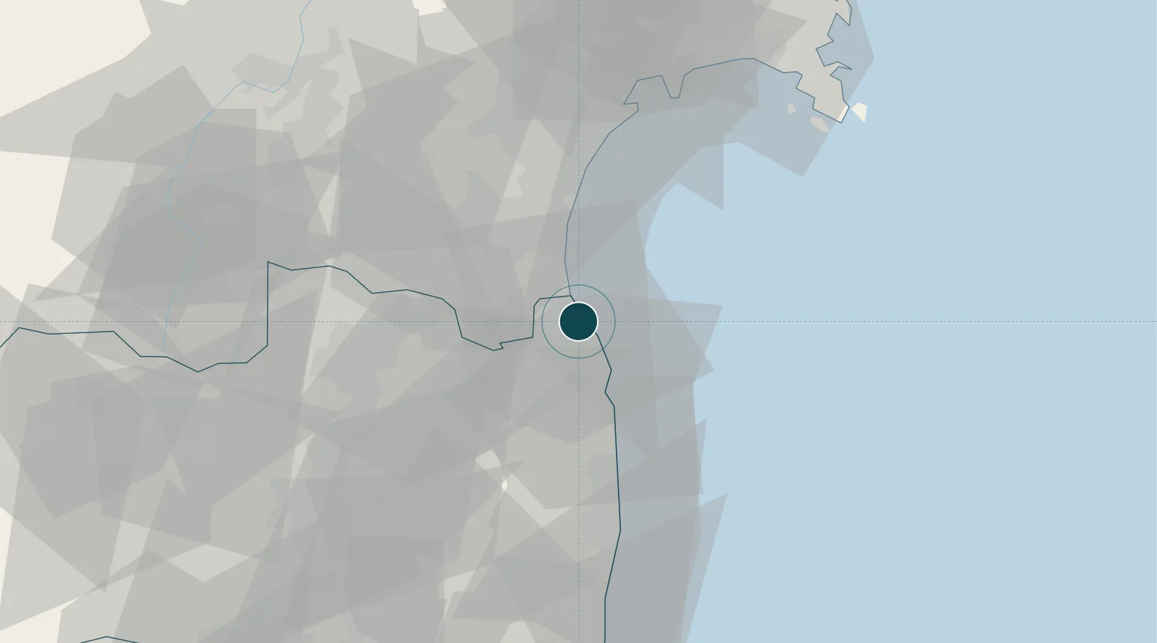
Location
Nearby Logistics Neighbours
Ports
- 1Sendai-Shiogama54 km
- 2Ishinomaki Ko71 km
- 3Onagawa81 km
- 4Onahama Ko100 km
- 5Kesennuma Ko128 km
Cities
- 1Sendai, Miyagi49 km
- 2Sendaishiogama49 km
- 3Nihonmatsu55 km
- 4Tamura56 km
- 5Tomiya61 km
Airports
- 1Sendai Airport34 km
- 2JASDF Matsushima Air Base68 km
- 3Fukushima Airport81 km
- 4Yamagata Airport82 km
- 5Shonai Airport149 km
DatabookThe Record of Consolidated Knowledge
Japan beyond logistics?