Specialized Zone · Japan

Tsukuba International Strategic Comprehensive Special Zone Active
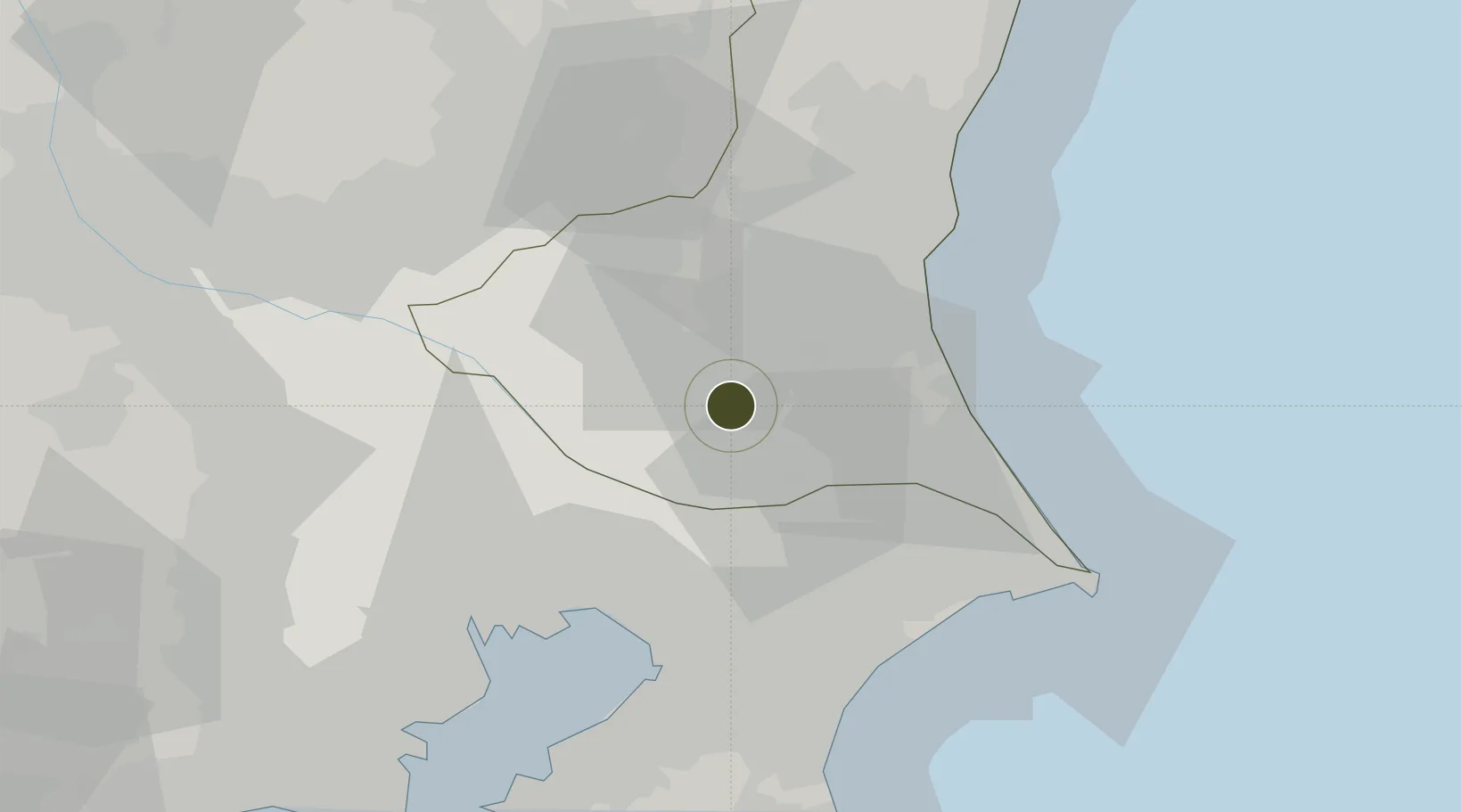
36.0258°, 140.2235°
28,400 ha
Zone area
44.1 km
Nearest port
24.4 km
Nearest airport

Gateway access

Nearest neighbours — logibook spatial index (haversine) over the source coordinates

Zone profile

Zone type
Specialized Zone
Open Zone Map
Specialization
Tech
Open Zone Map
Region
Ibaraki
Open Zone Map
Status
Active
Open Zone Map
Management
Public
Open Zone Map
Operator
Tsukuba Global Innovation Promotion Agency
Open Zone Map
Legal framework
2011 PM Strategic Zone Designation
Open Zone Map

Location

Location of ozm-2608
Natural Earth 10m (public domain) · Ibaraki · ozm-2608 · 36.03, 140.22GoogleOSMYandex

Nearby Logistics Neighbours

Ports
  1. 1Kashima Ko44 km
  2. 2Funabashi47 km
  3. 3Chiba Ko51 km
  4. 4Tokyo Ko58 km
  5. 5Hitachi64 km
Nearest neighbours — logibook spatial index (haversine) over the source coordinates
Airports
  1. 1Ibaraki International Airport24 km
  2. 2JMSDF Shimofusa Air Base32 km
  3. 3Narita International Airport32 km
  4. 4Utsunomiya Airport63 km
  5. 5Tokyo Haneda International Airport66 km
Nearest neighbours — logibook spatial index (haversine) over the source coordinates
Cities
  1. 1Kasumigaura1 km
  2. 2Chiyoda14 km
  3. 3Ishioka18 km
  4. 4Inzai22 km
  5. 5Abiko25 km
Nearest neighbours — logibook spatial index (haversine) over the source coordinates
DatabookThe Record of Consolidated Knowledge
Japan beyond logistics?
Browse databook

All Sources

Trade ZonesOpen Zone Map
CC BY
Portsthe NGA World Port Index
Public domain (US gov)
AirportsOurAirports
Public domain
LocationsUN/LOCODE
UN/LOCODE — free
← Japan trade zones