Transport Functions
Multimodal
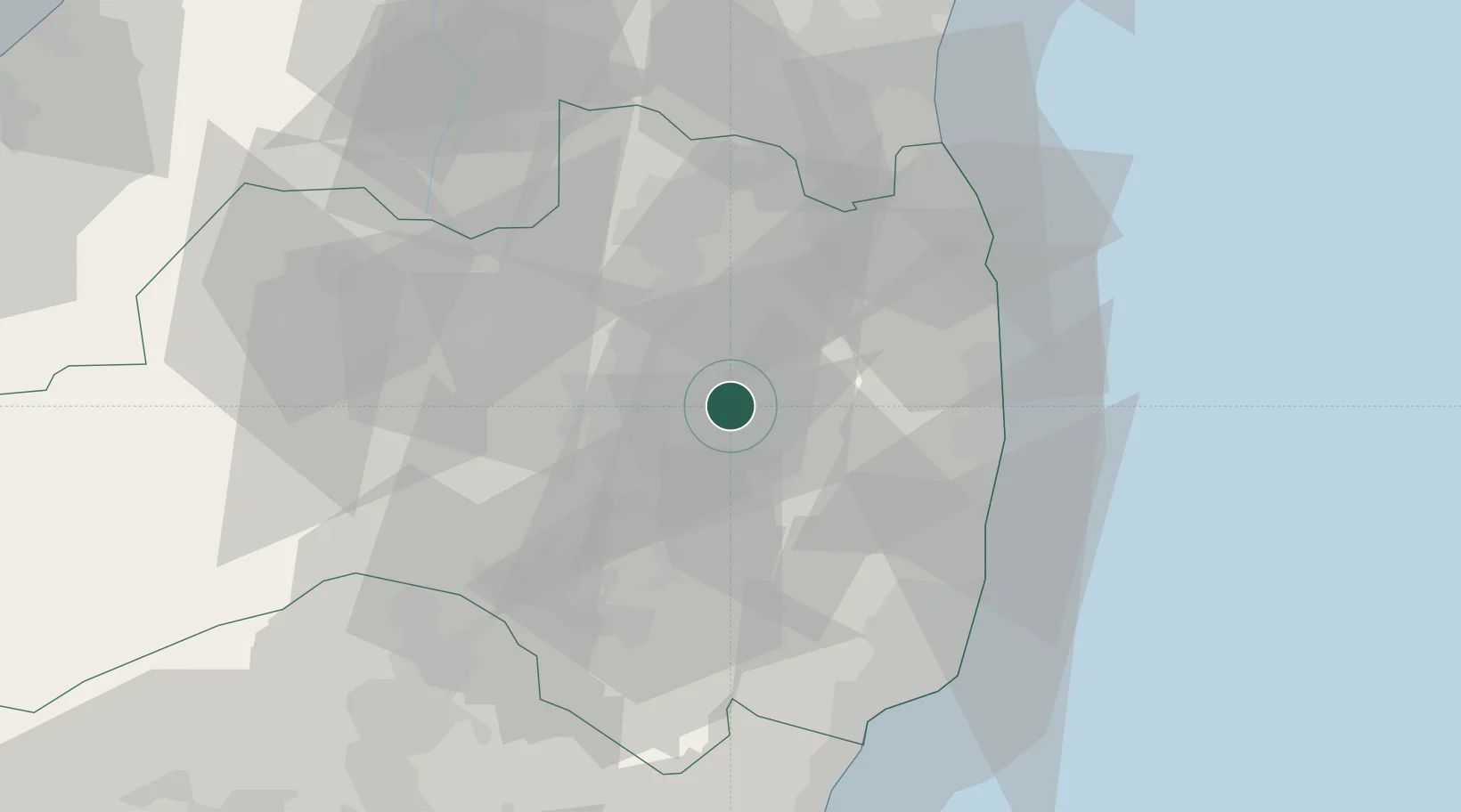
Hub Profile
Place type
Provincial seat
Region
Fukushima
Population
35,169
Time zone
Asia/Tokyo
Elevation
468 m
Location
Nearby Logistics Neighbours
Cities
- 1Nihonmatsu21 km
- 2Shirakawa48 km
- 3Tanagura, Fukushima50 km
- 4Aizuwakamatsu53 km
- 5Bandai, Fukushima53 km
Ports
- 1Soma56 km
- 2Onahama Ko63 km
- 3Hitachi104 km
- 4Sendai-Shiogama106 km
- 5Ishinomaki Ko126 km
Airports
- 1Fukushima Airport26 km
- 2Sendai Airport84 km
- 3Yamagata Airport110 km
- 4Utsunomiya Airport119 km
- 5JASDF Matsushima Air Base122 km
DatabookThe Record of Consolidated Knowledge
Japan beyond logistics?