UN/LOCODE hub · Japan
JPHIC
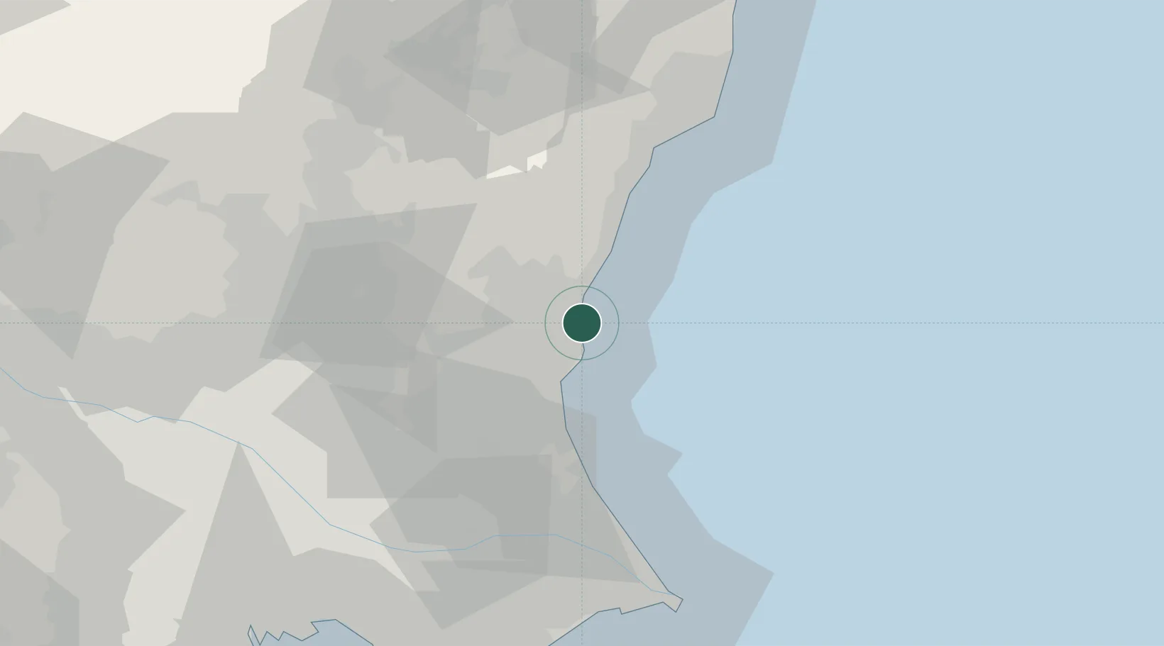
Hitachinaka
36.4339°, 140.6189°
156,581
Population
1
Transport functions
1
Container terminals
Transport Functions
Port
Hub Profile
Place type
Provincial seat
Region
Ibaraki
Population
156,581
Time zone
Asia/Tokyo
Elevation
31 m
Logistics facilities
2
Container terminals
1
Location
Nearby Logistics Neighbours
Ports
- 1Hitachi8 km
- 2Kashima Ko56 km
- 3Onahama Ko61 km
- 4Choshi81 km
- 5Funabashi104 km
Airports
- 1Ibaraki International Airport34 km
- 2Utsunomiya Airport68 km
- 3Narita International Airport77 km
- 4JMSDF Shimofusa Air Base89 km
- 5Fukushima Airport90 km
DatabookThe Record of Consolidated Knowledge
Japan beyond logistics?