Transport Functions
Multimodal
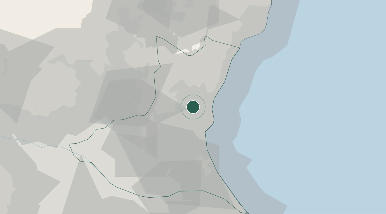
Hub Profile
Place type
Populated place
Region
Ibaraki
Population
53,137
Time zone
Asia/Tokyo
Elevation
28 m
Location
Nearby Logistics Neighbours
Cities
- 1Hitachinaka12 km
- 2Hitachi13 km
- 3Kasama24 km
- 4Omitama27 km
- 5Mashiko34 km
Ports
- 1Hitachi15 km
- 2Kashima Ko61 km
- 3Onahama Ko65 km
- 4Choshi86 km
- 5Funabashi99 km
Airports
- 1Ibaraki International Airport31 km
- 2Utsunomiya Airport55 km
- 3Narita International Airport76 km
- 4JMSDF Shimofusa Air Base84 km
- 5Fukushima Airport87 km
DatabookThe Record of Consolidated Knowledge
Japan beyond logistics?