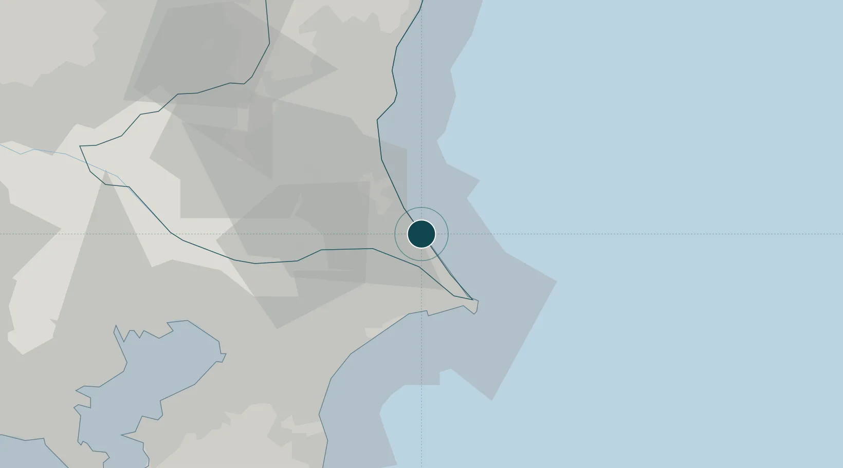
Seaport · Japan

Kashima KoJPKSM

35.9333°, 140.7000°
18.6 m
Channel depth
1
Container terminals
20.1
Port liner connectivity
Kashima Ko is also a UN/LOCODE logistics hub →

Channel & Berth Profile

SEA LEVEL (CD)CHANNEL BEDCargo pier · 9.4 mChannel · 18.6 mOil terminal · 18.6 mAnchorage · 21.6 m
NGA World Port Index

Pilotage, Tugs & Services

Pilotage compulsoryNO
Pilotage availableYES
Local assistanceYES
Tug assistanceYES
Potable waterYES
MedicalYES
NGA World Port Index

Facilities & Capabilities

Container
Ro-Ro
Liquid bulk
Dry bulk
Oil terminal
Break bulk
Dry dockNO
RepairsNO
BunkeringYES
Rail linkYES
Dangerous cargo
ISPS security
NGA World Port Index

Harbour Specifications

Harbour size
Small
NGA World Port Index
Harbour type
Coastal (Breakwater)
NGA World Port Index
Shelter
Excellent
NGA World Port Index
Water body
North Pacific Ocean
NGA World Port Index
Overhead limit
Yes
NGA World Port Index
Pilotage
No
NGA World Port Index

Liner Connectivity

20.1
PLSCI

Port Liner Shipping Connectivity Index for Kashima Ko, as published by UNCTAD for the latest available quarter. Higher values indicate stronger scheduled liner-shipping integration.

Shown relative to the highest per-port PLSCI in the dataset (1,657.9).

UNCTAD · Port Liner Shipping Connectivity Index

Location

Location of JPKSM
Natural Earth 10m (public domain) · Ibaraki · JPKSM · 35.93, 140.70GoogleOSMYandex

Container Terminals · 1

KASHIMA NORTH PUBLIC WHARF
NPW KASHIMA WHARF CO., LTD.
SMDG Terminal Code List

Nearby Logistics Neighbours

Ports
  1. 1Choshi26 km
  2. 2Hitachi63 km
  3. 3Chiba Ko69 km
  4. 4Funabashi74 km
  5. 5Tokyo Ko91 km
Nearest neighbours — logibook spatial index (haversine) over the source coordinates
Cities
  1. 1Katori33 km
  2. 2Katori-Gun35 km
  3. 3Narita, Chiba38 km
  4. 4Tomisato41 km
  5. 5Kasumigaura45 km
Nearest neighbours — logibook spatial index (haversine) over the source coordinates
Airports
  1. 1Narita International Airport34 km
  2. 2Ibaraki International Airport38 km
  3. 3JMSDF Shimofusa Air Base64 km
  4. 4Tokyo Haneda International Airport93 km
  5. 5JGSDF Kisarazu Airfield93 km
Nearest neighbours — logibook spatial index (haversine) over the source coordinates
DatabookThe Record of Consolidated Knowledge
Japan beyond logistics?
Browse databook

All Sources

Portsthe NGA World Port Index
Public domain (US gov)
Logistics performanceUNCTAD
CC BY 3.0 IGO
Portsthe SMDG Terminal Code List
UN/LOCODE — free, attribution
AirportsOurAirports
Public domain
LocationsUN/LOCODE
UN/LOCODE — free
Trade Zonesthe World Bank SEZ database
CC BY 4.0
Trade ZonesOpen Zone Map
CC BY
← Japan ports