Diversified Zone · Japan
Kashiwanoha Campus Special Zone Inactive
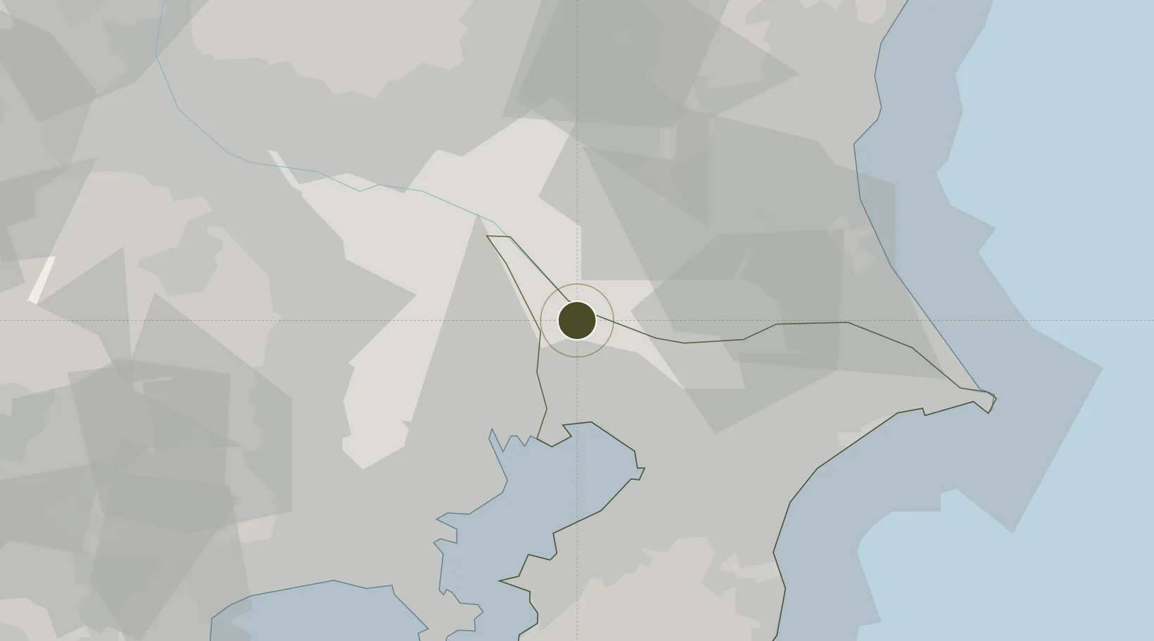
35.8930°, 139.9527°
273 ha
Zone area
25.2 km
Nearest port
11.7 km
Nearest airport
Gateway access
Zone profile
Zone type
Diversified Zone
Region
Chiba
Status
Inactive
Management
Public-Private Partnership
Operator
Kashiwa City, Mitsui Fudosan Metropolitan Intercity Railway Company
Legal framework
Prime Minister's Designation as Comprehensive Special Zone
Location
Nearby Logistics Neighbours
Ports
- 1Funabashi25 km
- 2Tokyo Ko31 km
- 3Chiba Ko36 km
- 4Kawasaki Ko47 km
- 5Kisarazu Ko59 km
Airports
- 1JMSDF Shimofusa Air Base12 km
- 2Tokyo Haneda International Airport41 km
- 3Narita International Airport42 km
- 4Chofu Airport46 km
- 5Iruma Air Base49 km
Cities
- 1Nagareyama, Chiba7 km
- 2Abiko8 km
- 3Nagareyama8 km
- 4Noda10 km
- 5Yashio14 km
Trade Zones
DatabookThe Record of Consolidated Knowledge
Japan beyond logistics?