Seaport · Japan
Akita-Funakawa KoJPAXT
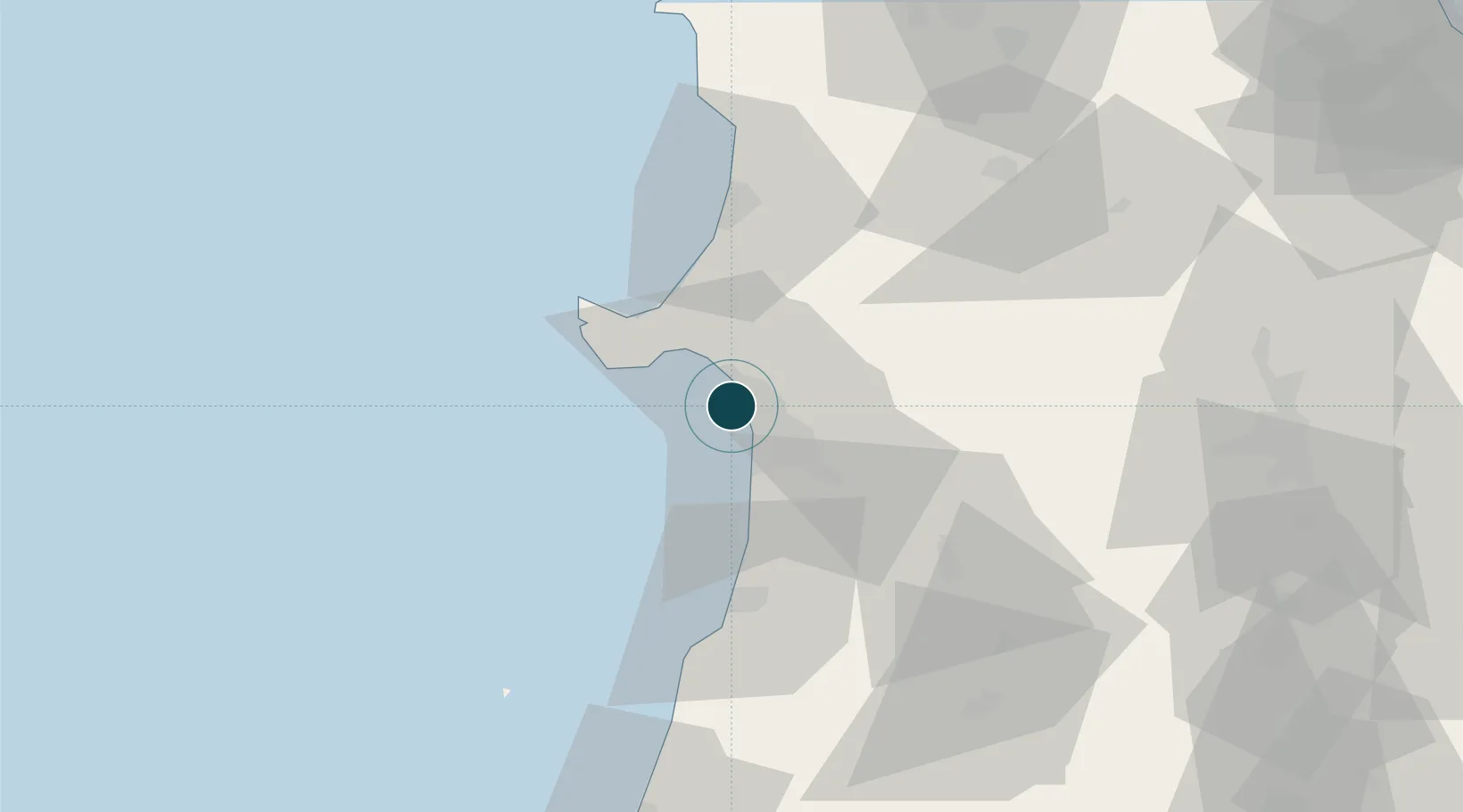
39.7814°, 140.0150°
12.5 m
Channel depth
1
Container terminals
48.8
Port liner connectivity
Channel & Berth Profile
Pilotage, Tugs & Services
Pilotage compulsoryNO
Pilotage availableYES
Pilotage advisableYES
Tug assistanceYES
Salvage tugsYES
Shore powerYES
Potable waterYES
MedicalYES
Garbage disposalYES
Facilities & Capabilities
Container—
Ro-Ro—
Liquid bulk—
Dry bulk—
Oil terminalYES
Break bulk—
Dry dock—
RepairsNO
BunkeringYES
Rail linkYES
Dangerous cargo—
ISPS security—
Harbour Specifications
Harbour size
Very Small
Harbour type
Coastal (Breakwater)
Shelter
Poor
Water body
Sea of Japan; North Pacific Ocean
Tidal range
1 m
Pilotage
No
Liner Connectivity
48.8
PLSCI
Port Liner Shipping Connectivity Index for Akita-Funakawa Ko, as published by UNCTAD for the latest available quarter. Higher values indicate stronger scheduled liner-shipping integration.
Shown relative to the highest per-port PLSCI in the dataset (1,657.9).
Location
Container Terminals · 1
AKITA INTERNATIONAL CONTAINER TERMINAL
AICT AKITA PORT AUTHORITY
Nearby Logistics Neighbours
Ports
- 1Noshiro Ko48 km
- 2Sakata Ko96 km
- 3Aomori Ko133 km
- 4Hachinohe Ko155 km
- 5Ofunato169 km
Cities
- 1Akitafunagawa13 km
- 2Oga19 km
- 3Yurihonjo, Akita44 km
- 4Nikaho45 km
- 5Yuzawa, Akita80 km
Airports
- 1Akita Airport25 km
- 2Odate Noshiro Airport55 km
- 3Iwate Hanamaki Airport104 km
- 4Shonai Airport110 km
- 5Aomori Airport120 km
DatabookThe Record of Consolidated Knowledge
Japan beyond logistics?