Medium airport · Japan
Shonai AirportRJSY
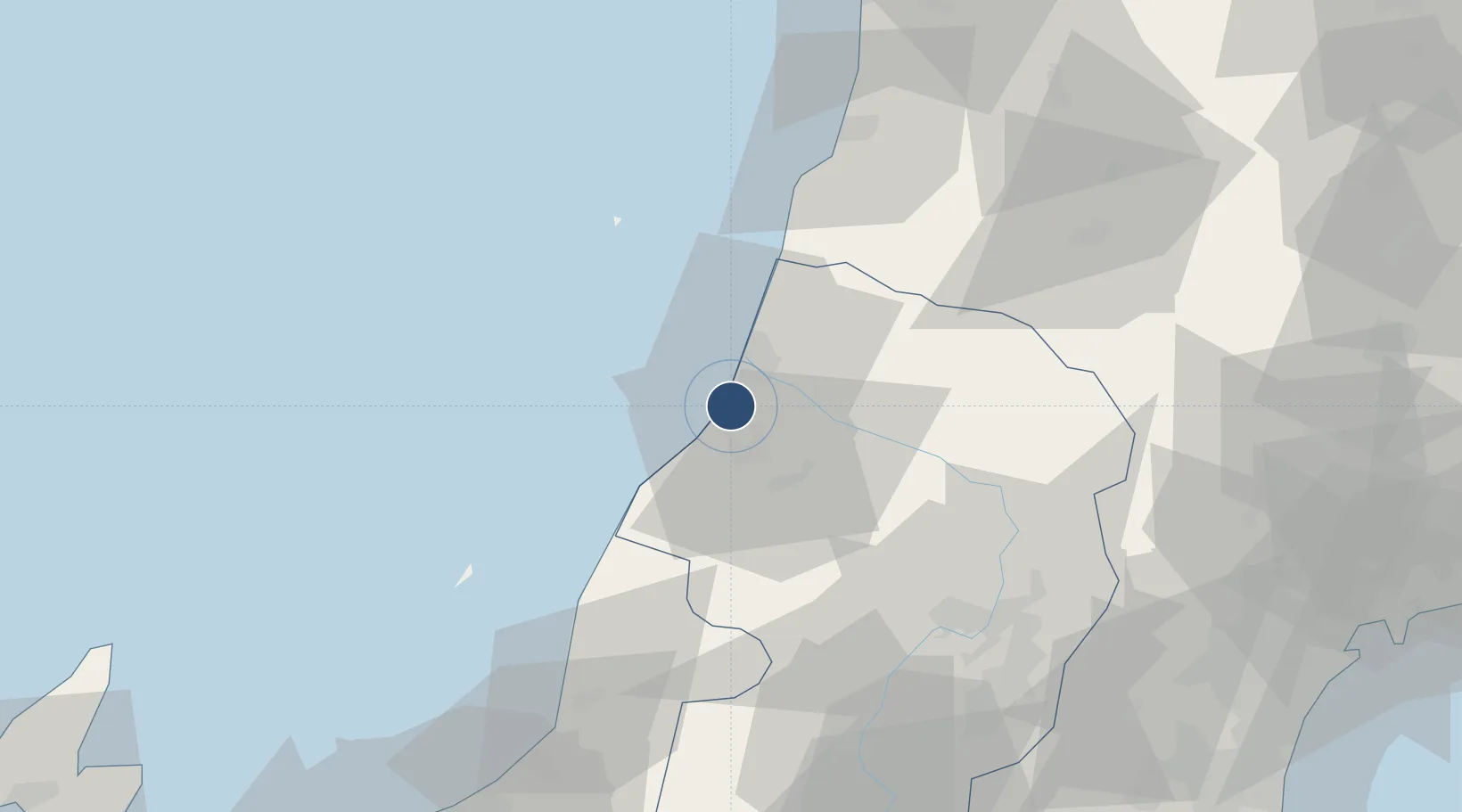
38.8122°, 139.7870°
6,560 ft
Longest runway
1
Runways
86 ft
Elevation
Runway & Layout

Radio Frequencies
A/G
118.8 MHz
RDO
Navaids
YSE VOR-DME Shonai 109.60 MHz
Runways · 1
| Runway | Dimensions | Surface | True heading | Lit |
|---|---|---|---|---|
| 09/27 | 6,560 × 150ft | Asphalt | 079° | ✓ |
Airport Specifications
IATA code
SYO
ICAO code
RJSY
Airport class
Medium airport
Scheduled service
Yes
Runway surface
Asphalt
Served city
Shonai
Location
Nearby Logistics Neighbours
Airports
- 1Yamagata Airport68 km
- 2Akita Airport97 km
- 3Niigata Airport112 km
- 4Sendai Airport124 km
- 5JASDF Matsushima Air Base133 km
Cities
- 1Sakata15 km
- 2Yuza24 km
- 3Sagae65 km
- 4Yurihonjo, Akita67 km
- 5Nikaho69 km
Ports
- 1Sakata Ko14 km
- 2Eastern Part Of Niigata-Ko101 km
- 3Akita-Funakawa Ko110 km
- 4Niigata Ko119 km
- 5Sendai-Shiogama122 km
DatabookThe Record of Consolidated Knowledge
Japan beyond logistics?