Seaport · Japan

Noshiro KoJPNSR

40.2167°, 140.0000°
9.4 m
Channel depth

Channel & Berth Profile

SEA LEVEL (CD)CHANNEL BEDCargo pier · 6.4 mOil terminal · 6.4 mChannel · 9.4 m
NGA World Port Index

Pilotage, Tugs & Services

Potable waterYES
MedicalYES
Garbage disposalYES
NGA World Port Index

Facilities & Capabilities

Container
Ro-Ro
Liquid bulk
Dry bulk
Oil terminal
Break bulk
Dry dock
RepairsNO
BunkeringNO
Rail linkYES
Dangerous cargo
ISPS security
NGA World Port Index

Harbour Specifications

Harbour size
Very Small
NGA World Port Index
Harbour type
Coastal (Natural)
NGA World Port Index
Shelter
Fair
NGA World Port Index
Water body
Sea of Japan; North Pacific Ocean
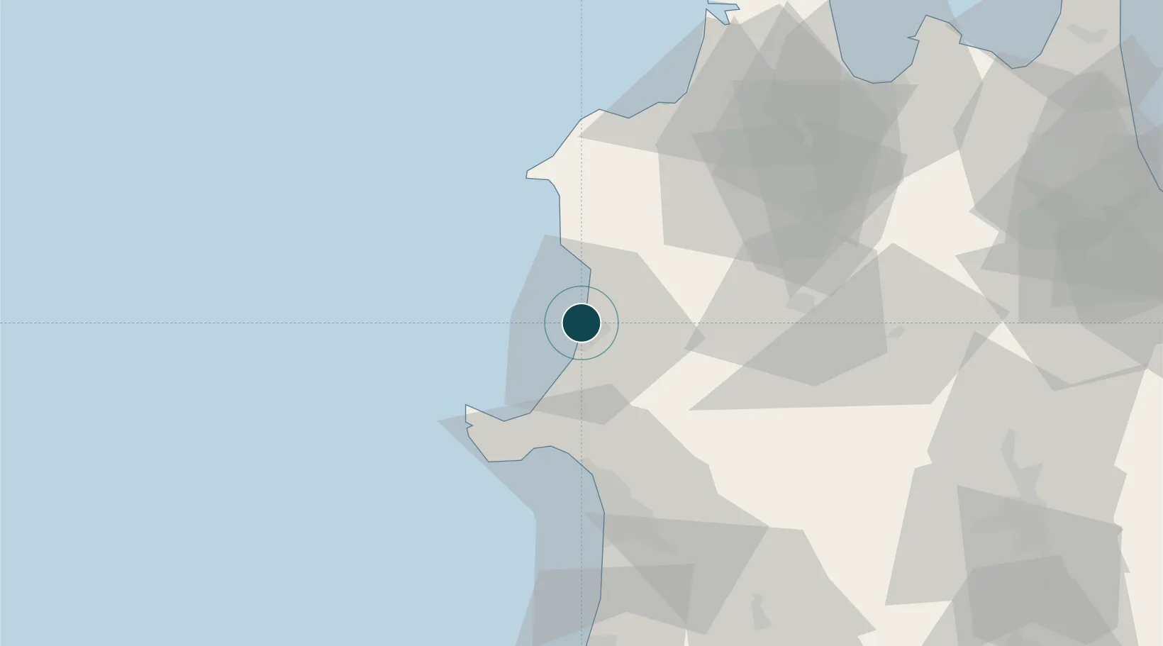
NGA World Port Index

Location

Location of JPNSR
Natural Earth 10m (public domain) · Akita · JPNSR · 40.22, 140.00GoogleOSMYandex

Nearby Logistics Neighbours

Ports
  1. 1Akita-Funakawa Ko48 km
  2. 2Aomori Ko93 km
  3. 3Hachinohe Ko136 km
  4. 4Sakata Ko144 km
  5. 5Miyako181 km
Nearest neighbours — logibook spatial index (haversine) over the source coordinates
Cities
  1. 1Akitafunagawa37 km
  2. 2Oga40 km
  3. 3Akita51 km
  4. 4Yurihonjo, Akita93 km
  5. 5Nikaho93 km
Nearest neighbours — logibook spatial index (haversine) over the source coordinates
Airports
  1. 1Odate Noshiro Airport32 km
  2. 2Akita Airport69 km
  3. 3Aomori Airport82 km
  4. 4Misawa Airport / Misawa Air Base128 km
  5. 5JMSDF Hachinohe Air Base / Hachinohe Airport130 km
Nearest neighbours — logibook spatial index (haversine) over the source coordinates
DatabookThe Record of Consolidated Knowledge
Japan beyond logistics?
Browse databook

All Sources

Portsthe NGA World Port Index
Public domain (US gov)
AirportsOurAirports
Public domain
LocationsUN/LOCODE
UN/LOCODE — free
Trade Zonesthe World Bank SEZ database
CC BY 4.0
Trade ZonesOpen Zone Map
CC BY
← Japan ports