Economic Revitalization Project · Japan
Semboku City Strategic Special Zone Active
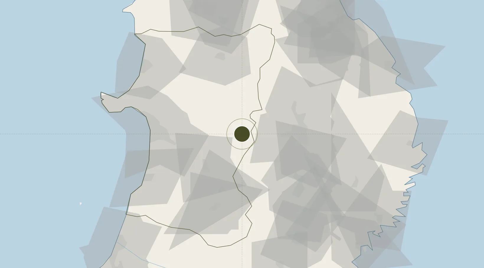
39.7005°, 140.7251°
109,364 ha
Zone area
61.4 km
Nearest port
44.3 km
Nearest airport
Gateway access
Zone profile
Zone type
Economic Revitalization Project
Region
Akita
Status
Active
Management
Public
Operator
Semboku City
Legal framework
National Strategic Special Zone Law 2013 Law No. 107
Location
Nearby Logistics Neighbours
Ports
- 1Akita-Funakawa Ko61 km
- 2Noshiro Ko84 km
- 3Miyako108 km
- 4Kamaishi Ko112 km
- 5Ofunato113 km
Airports
- 1Akita Airport44 km
- 2Iwate Hanamaki Airport46 km
- 3Odate Noshiro Airport62 km
- 4JMSDF Hachinohe Air Base / Hachinohe Airport114 km
- 5Aomori Airport115 km
Cities
- 1Kitakami57 km
- 2Akita58 km
- 3Yuzawa, Akita62 km
- 4Nikaho65 km
- 5Yurihonjo, Akita69 km
DatabookThe Record of Consolidated Knowledge
Japan beyond logistics?