Medium airport · Japan
Odate Noshiro AirportRJSR
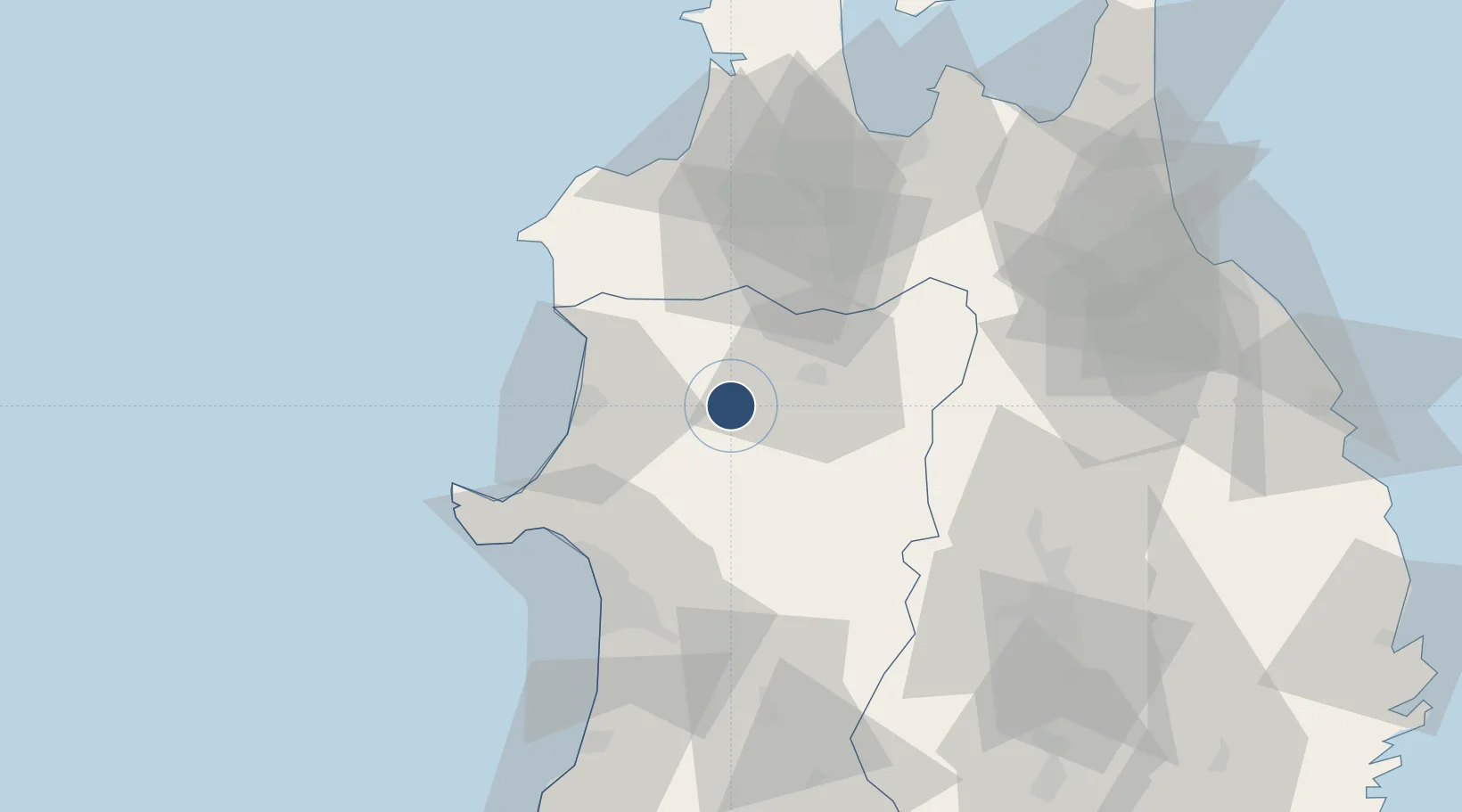
40.1919°, 140.3710°
6,562 ft
Longest runway
1
Runways
292 ft
Elevation
Runway & Layout

Radio Frequencies
RDO
118.75 MHz
Navaids
ODE VOR-DME Odate Noshiro 114.75 MHz
Runways · 1
| Runway | Dimensions | Surface | True heading | Lit |
|---|---|---|---|---|
| 11/29 | 6,562 × 148ft | Asphalt | 100° | ✓ |
Airport Specifications
IATA code
ONJ
ICAO code
RJSR
Airport class
Medium airport
Scheduled service
Yes
Runway surface
Asphalt
Served city
Kitaakita
Location
Nearby Logistics Neighbours
Airports
- 1Akita Airport65 km
- 2Aomori Airport66 km
- 3JMSDF Hachinohe Air Base / Hachinohe Airport101 km
- 4Misawa Airport / Misawa Air Base102 km
- 5Iwate Hanamaki Airport107 km
Cities
- 1Akitafunagawa50 km
- 2Akita55 km
- 3Oga57 km
- 4Ninohe79 km
- 5Nikaho93 km
Ports
- 1Noshiro Ko32 km
- 2Akita-Funakawa Ko55 km
- 3Aomori Ko78 km
- 4Hachinohe Ko107 km
- 5Sakata Ko148 km
DatabookThe Record of Consolidated Knowledge
Japan beyond logistics?