UN/LOCODE hub · Japan
JPZWA

Yuzawa, Akita

39.1667°, 140.5000°
1
Transport functions

Transport Functions

Multimodal
UN/LOCODE

Hub Profile

Region
05
GeoNames

Location

Location of JPZWA
Natural Earth 10m (public domain) · 05 · JPZWA · 39.17, 140.50GoogleOSMYandex

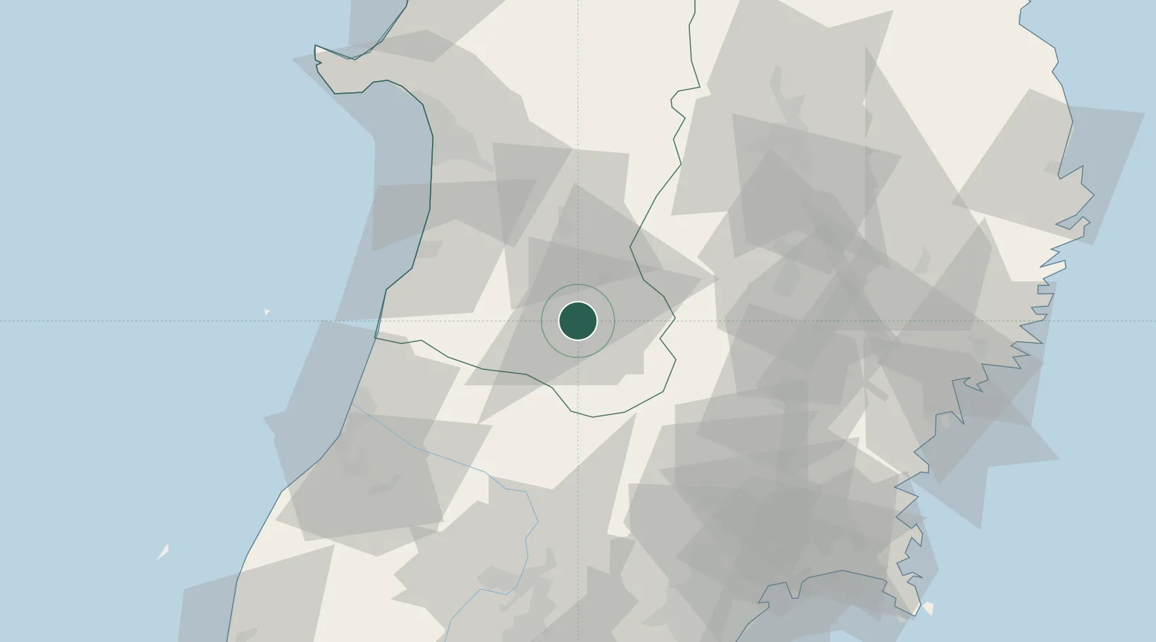
Nearby Logistics Neighbours

Cities
  1. 1Nikaho43 km
  2. 2Yurihonjo, Akita47 km
  3. 3Yuza54 km
  4. 4Kitakami55 km
  5. 5Oshu55 km
Nearest neighbours — logibook spatial index (haversine) over the source coordinates
Ports
  1. 1Sakata Ko65 km
  2. 2Akita-Funakawa Ko80 km
  3. 3Kesennuma Ko101 km
  4. 4Sendai-Shiogama105 km
  5. 5Ofunato107 km
Nearest neighbours — logibook spatial index (haversine) over the source coordinates
Airports
  1. 1Akita Airport56 km
  2. 2Iwate Hanamaki Airport62 km
  3. 3Shonai Airport73 km
  4. 4Yamagata Airport85 km
  5. 5JASDF Matsushima Air Base105 km
Nearest neighbours — logibook spatial index (haversine) over the source coordinates
DatabookThe Record of Consolidated Knowledge
Japan beyond logistics?
Browse databook

All Sources

LocationsUN/LOCODE
UN/LOCODE — free
Portsthe NGA World Port Index
Public domain (US gov)
AirportsOurAirports
Public domain
Trade Zonesthe World Bank SEZ database
CC BY 4.0
Trade ZonesOpen Zone Map
CC BY
← Japan locations