Other Zone · Japan
Nagaoka Independent Local Community Creation Special Zone Inactive
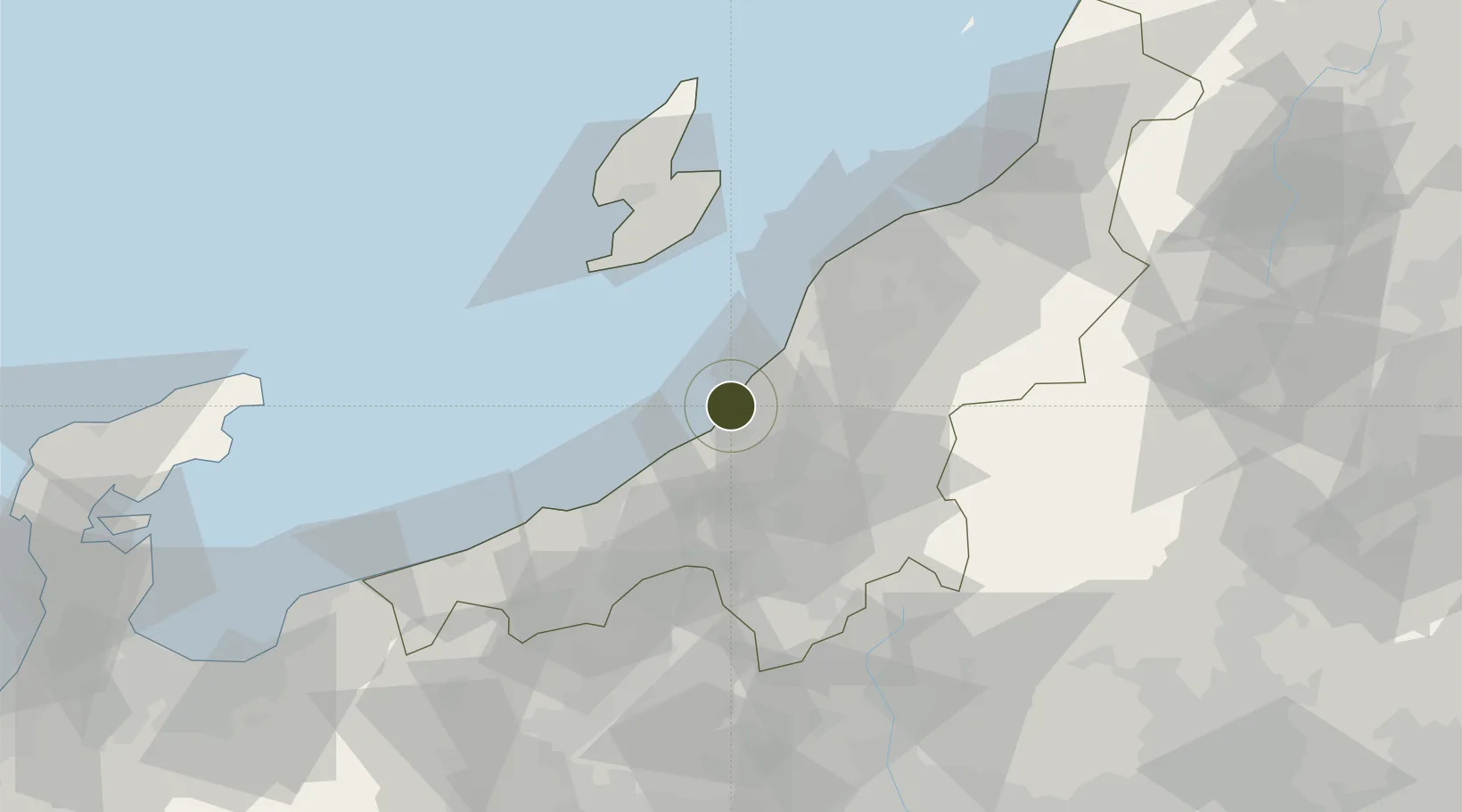
37.4430°, 138.6034°
75 ha
Zone area
9.7 km
Nearest port
70.6 km
Nearest airport
Gateway access
Zone profile
Zone type
Other Zone
Region
Niigata
Status
Inactive
Management
Public
Operator
Niigata Prefecture Regional Promotion Strategy Department
Legal framework
Niigata Prefecture Regional Activation Policy
Location
Nearby Logistics Neighbours
Ports
- 1Kashiwazaki10 km
- 2Naoetsu Ko43 km
- 3Niigata Ko66 km
- 4Ryotu Ko71 km
- 5Himekawa81 km
Airports
- 1Sado Airport71 km
- 2Niigata Airport72 km
- 3Noto Satoyama Airport146 km
- 4Utsunomiya Airport153 km
- 5Toyama Kitokito Airport154 km
Trade Zones
- 1Niigata City Strategic Special Zone65 km
- 2Gunma Environmentally Friendly Livestock Promotion Special Zone91 km
- 3Gunma Cancer Treatment Technology Regional Revitalization Comprehensive Special Zone119 km
- 4Toyama Community-based Welfare Promotion Special Zone152 km
- 5Saitama Next-Generation Automobile Smart Energy Special Zone195 km
DatabookThe Record of Consolidated Knowledge
Japan beyond logistics?