Specialized Zone · Japan
Niigata City Strategic Special Zone Active
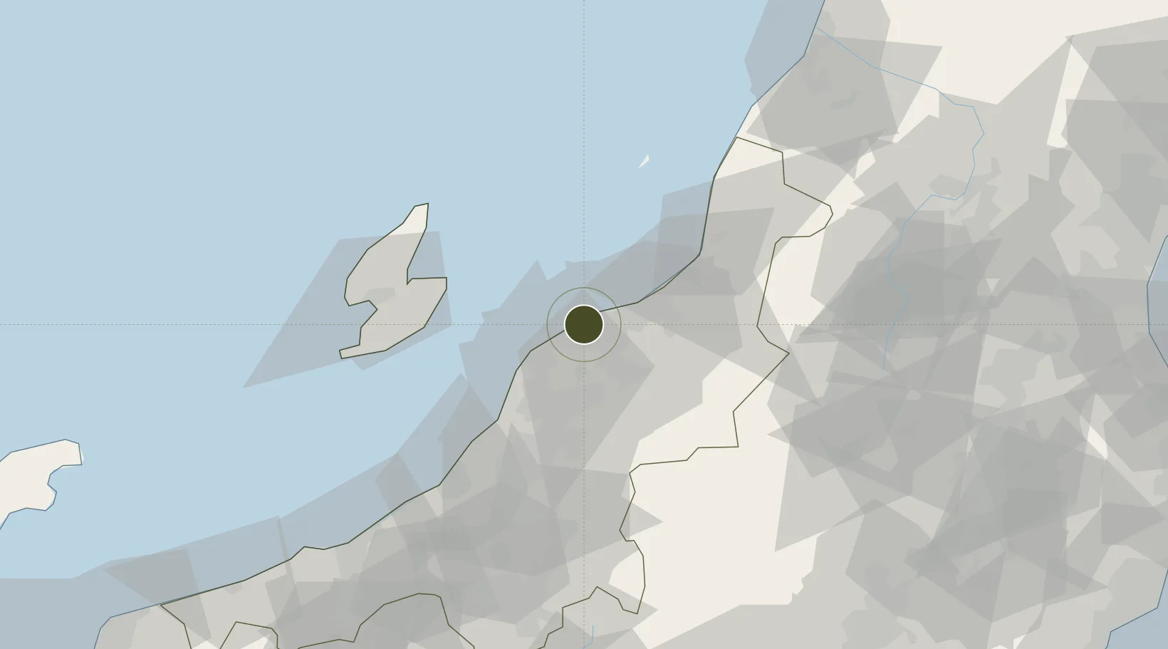
37.9161°, 139.0364°
51,200 ha
Zone area
1.2 km
Nearest port
7.9 km
Nearest airport
Gateway access
Zone profile
Zone type
Specialized Zone
Specialization
Agriculture
Region
Niigata
Status
Active
Management
Public
Operator
Niigata City
Legal framework
Article 2, Paragraph 1 of the National Strategic Special Zones Act (Act No. 107 of 2013).
Location
Nearby Logistics Neighbours
Ports
- 1Niigata Ko1 km
- 2Eastern Part Of Niigata-Ko21 km
- 3Ryotu Ko45 km
- 4Kashiwazaki75 km
- 5Naoetsu Ko107 km
Airports
- 1Niigata Airport8 km
- 2Sado Airport57 km
- 3Shonai Airport119 km
- 4Yamagata Airport129 km
- 5Fukushima Airport145 km
Cities
- 1Niigata18 km
- 2Agano18 km
- 3Aga Niigata18 km
- 4Gosen23 km
- 5Yahiko30 km
Trade Zones
- 1Nagaoka Independent Local Community Creation Special Zone65 km
- 2Gunma Environmentally Friendly Livestock Promotion Special Zone139 km
- 3Special Recycling Resources Zone for Rare Metals162 km
- 4Sendai City Strategic Special Zone165 km
- 5Gunma Cancer Treatment Technology Regional Revitalization Comprehensive Special Zone165 km
DatabookThe Record of Consolidated Knowledge
Japan beyond logistics?