Seaport · Japan
Hachinohe KoJPHHE
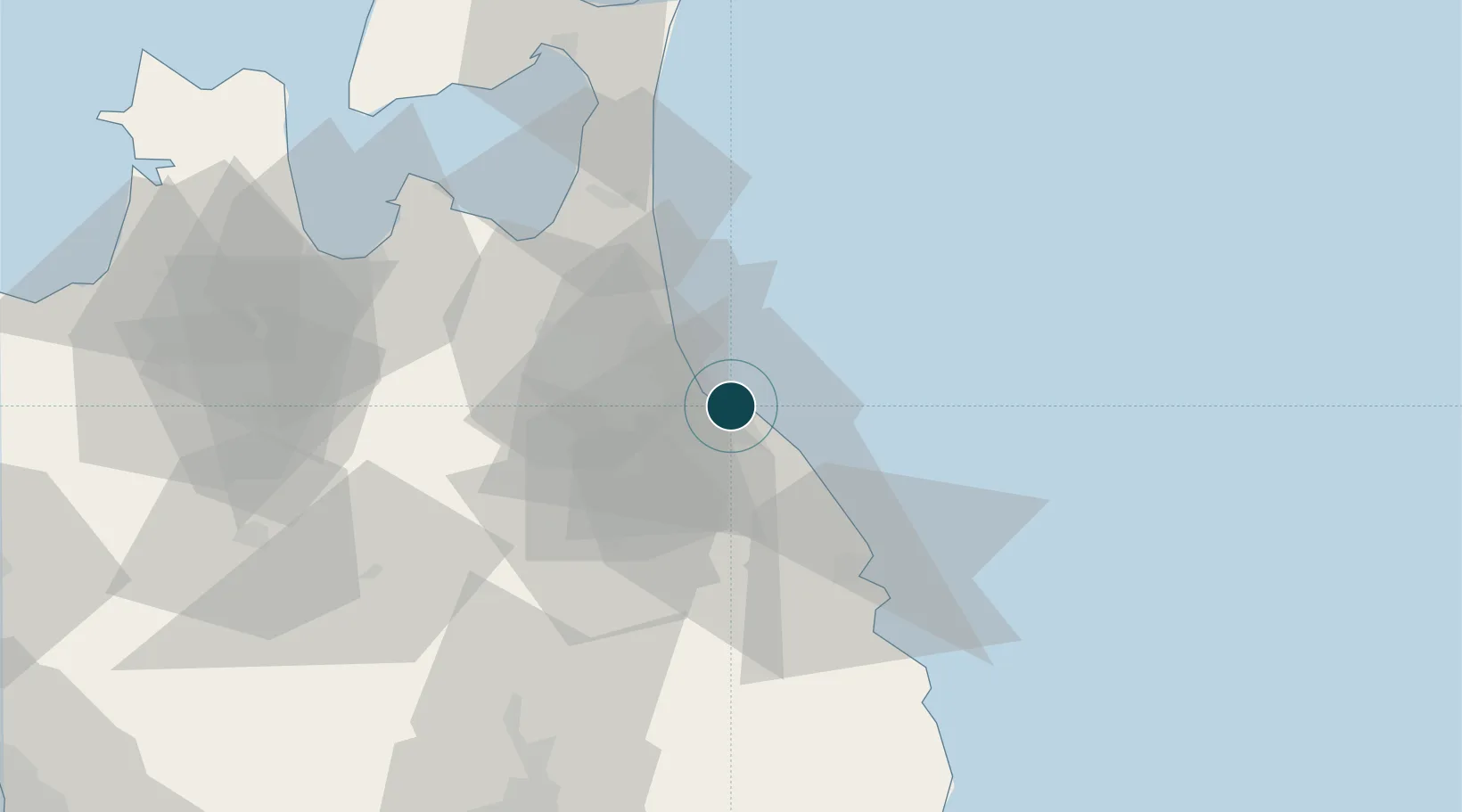
40.5333°, 141.5500°
14.0 m
Channel depth
1
Container terminals
36.3
Port liner connectivity
Channel & Berth Profile
Pilotage, Tugs & Services
Pilotage compulsoryNO
Pilotage availableYES
Local assistanceYES
Tug assistanceYES
Potable waterYES
MedicalYES
Facilities & Capabilities
Container—
Ro-Ro—
Liquid bulk—
Dry bulk—
Oil terminal—
Break bulk—
Dry dockNO
RepairsNO
BunkeringYES
Rail linkYES
Dangerous cargo—
ISPS security—
Harbour Specifications
Harbour size
Small
Harbour type
Coastal (Breakwater)
Shelter
Good
Water body
North Pacific Ocean
Tidal range
1 m
Overhead limit
Yes
Pilotage
No
Liner Connectivity
36.3
PLSCI
Port Liner Shipping Connectivity Index for Hachinohe Ko, as published by UNCTAD for the latest available quarter. Higher values indicate stronger scheduled liner-shipping integration.
Shown relative to the highest per-port PLSCI in the dataset (1,657.9).
Location
Container Terminals · 1
HACHINOHE INTERNATIONAL LOGISTICS TERMINAL
HT01C HACHINOHE PORT AUTHORITY
Nearby Logistics Neighbours
Ports
- 1Aomori Ko75 km
- 2Miyako107 km
- 3Noshiro Ko136 km
- 4Kamaishi Ko144 km
- 5Akita-Funakawa Ko155 km
Cities
- 1Ninohe36 km
- 2Hachimantai66 km
- 3Yokohama, Aomori66 km
- 4Tono135 km
- 5Kamaishi143 km
Airports
DatabookThe Record of Consolidated Knowledge
Japan beyond logistics?