UN/LOCODE hub · Japan
JPAXT
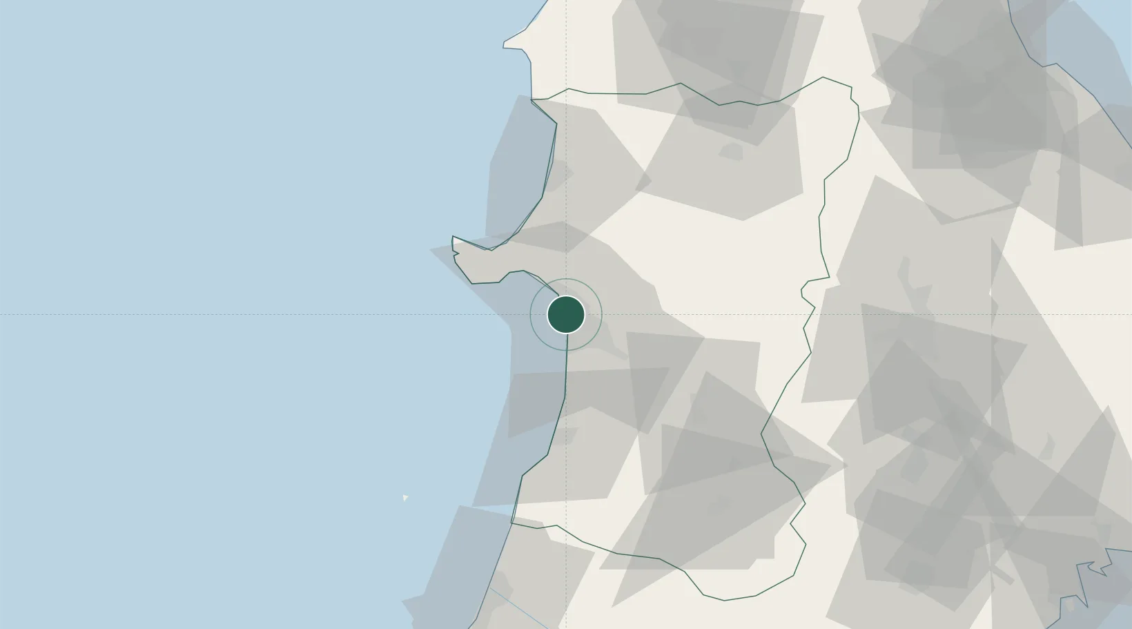
Akita
39.7621°, 140.0528°
307,672
Population
2
Transport functions
1
Container terminals
Transport Functions
Port
Airport
Hub Profile
Place type
Regional capital
Region
Akita
Population
307,672
Time zone
Asia/Tokyo
Elevation
14 m
Logistics facilities
6
Container terminals
1
Location
Nearby Logistics Neighbours
Cities
- 1Akitafunagawa16 km
- 2Oga23 km
- 3Yurihonjo, Akita42 km
- 4Nikaho42 km
- 5Yuzawa, Akita77 km
Ports
- 1Noshiro Ko51 km
- 2Sakata Ko94 km
- 3Aomori Ko133 km
- 4Hachinohe Ko154 km
- 5Ofunato165 km
Airports
- 1Akita Airport22 km
- 2Odate Noshiro Airport55 km
- 3Iwate Hanamaki Airport100 km
- 4Shonai Airport108 km
- 5Aomori Airport121 km
DatabookThe Record of Consolidated Knowledge
Japan beyond logistics?