Medium airport · Japan
Iwate Hanamaki AirportRJSI
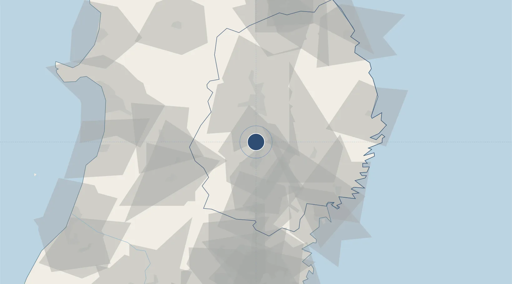
39.4286°, 141.1350°
8,202 ft
Longest runway
1
Runways
297 ft
Elevation
Runway & Layout

Radio Frequencies
ACC
124.5 MHz
SAPPORO CON
RDO
118.2 MHz
Navaids
HPE VOR-DME Hanamaki 112.80 MHz
Runways · 1
| Runway | Dimensions | Surface | True heading | Lit |
|---|---|---|---|---|
| 02/20 | 8,202 × 148ft | Asphalt | 011° | ✓ |
Airport Specifications
IATA code
HNA
ICAO code
RJSI
Airport class
Medium airport
Scheduled service
Yes
Runway surface
Asphalt
Served city
Hanamaki
Location
Nearby Logistics Neighbours
Airports
- 1Akita Airport81 km
- 2Odate Noshiro Airport107 km
- 3JASDF Matsushima Air Base114 km
- 4JMSDF Hachinohe Air Base / Hachinohe Airport128 km
- 5Yamagata Airport131 km
Cities
- 1Kitakami16 km
- 2Oshu33 km
- 3Tono36 km
- 4Yuzawa, Akita62 km
- 5Ofunato64 km
Ports
- 1Ofunato67 km
- 2Kamaishi Ko68 km
- 3Kesennuma Ko74 km
- 4Miyako76 km
- 5Akita-Funakawa Ko104 km
DatabookThe Record of Consolidated Knowledge
Japan beyond logistics?