Medium airport · Japan
Akita AirportRJSK
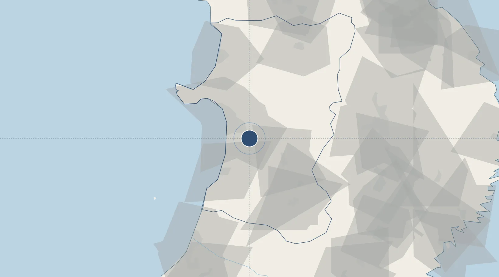
39.6156°, 140.2190°
8,200 ft
Longest runway
1
Runways
313 ft
Elevation
Runway & Layout

Radio Frequencies
TWR
118.6 MHz
A/G
127.1 MHz
SAPPORO INFO
Navaids
ATE VOR-DME Akita 116.10 MHz
UWE VOR-DME Yuwa 110.65 MHz
Runways · 1
| Runway | Dimensions | Surface | True heading | Lit |
|---|---|---|---|---|
| 10/28 | 8,200 × 200ft | Asphalt | 097° | ✓ |
Airport Specifications
IATA code
AXT
ICAO code
RJSK
Airport class
Medium airport
Scheduled service
Yes
Runway surface
Asphalt
Served city
Akita
Location
Nearby Logistics Neighbours
Airports
- 1Odate Noshiro Airport65 km
- 2Iwate Hanamaki Airport81 km
- 3Shonai Airport97 km
- 4Aomori Airport131 km
- 5Yamagata Airport135 km
Cities
- 1Akita22 km
- 2Nikaho28 km
- 3Yurihonjo, Akita30 km
- 4Akitafunagawa38 km
- 5Oga44 km
Ports
- 1Akita-Funakawa Ko25 km
- 2Noshiro Ko69 km
- 3Sakata Ko83 km
- 4Aomori Ko143 km
- 5Ofunato145 km
DatabookThe Record of Consolidated Knowledge
Japan beyond logistics?