Seaport · Japan
Sakata KoJPSKT
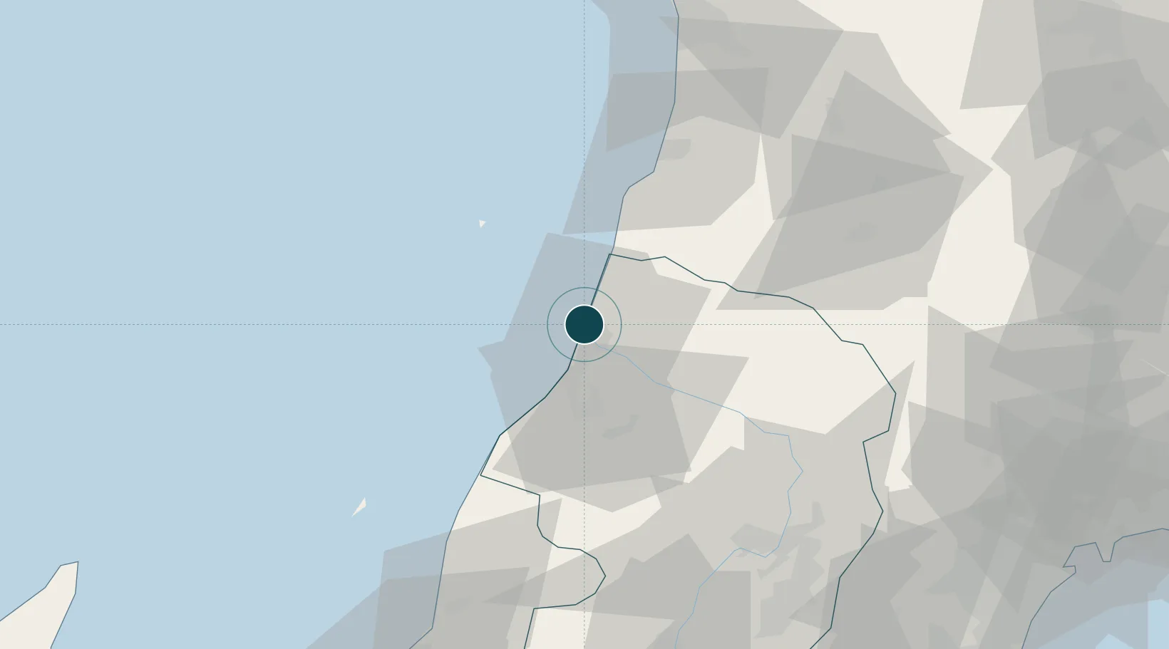
38.9333°, 139.8167°
9.4 m
Channel depth
1
Container terminals
18.7
Port liner connectivity
Channel & Berth Profile
Pilotage, Tugs & Services
Pilotage compulsoryNO
Pilotage availableYES
Pilotage advisableYES
Tug assistanceYES
Shore powerYES
Potable waterYES
Diesel bunkersYES
MedicalYES
Garbage disposalYES
Facilities & Capabilities
Container—
Ro-Ro—
Liquid bulk—
Dry bulk—
Oil terminal—
Break bulk—
Dry dock—
RepairsNO
BunkeringYES
Rail linkYES
Dangerous cargo—
ISPS security—
Harbour Specifications
Harbour size
Small
Harbour type
Coastal (Tide Gates)
Shelter
Fair
Water body
Sea of Japan; North Pacific Ocean
Tidal range
1 m
Pilotage
No
Liner Connectivity
18.7
PLSCI
Port Liner Shipping Connectivity Index for Sakata Ko, as published by UNCTAD for the latest available quarter. Higher values indicate stronger scheduled liner-shipping integration.
Shown relative to the highest per-port PLSCI in the dataset (1,657.9).
Location
Container Terminals · 1
SAKATA TAKASAGO NO. 2 QUAY
TS02C SAKATA PORT AUTHORITY
Nearby Logistics Neighbours
Ports
- 1Akita-Funakawa Ko96 km
- 2Eastern Part Of Niigata-Ko114 km
- 3Sendai-Shiogama126 km
- 4Niigata Ko131 km
- 5Ishinomaki Ko143 km
Cities
- 1Yuza11 km
- 2Yurihonjo, Akita53 km
- 3Nikaho55 km
- 4Yuzawa, Akita65 km
- 5Sagae74 km
Airports
- 1Shonai Airport14 km
- 2Yamagata Airport75 km
- 3Akita Airport83 km
- 4Niigata Airport125 km
- 5Iwate Hanamaki Airport126 km
DatabookThe Record of Consolidated Knowledge
Japan beyond logistics?