UN/LOCODE hub · Japan
JPAFG

Akitafunagawa

39.8833°, 139.9500°
1
Transport functions

Transport Functions

Port
UN/LOCODE

Hub Profile

Region
05
GeoNames

Location

Location of JPAFG
Natural Earth 10m (public domain) · 05 · JPAFG · 39.88, 139.95GoogleOSMYandex

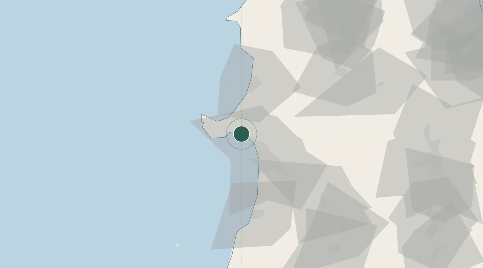
Nearby Logistics Neighbours

Cities
  1. 1Oga10 km
  2. 2Akita16 km
  3. 3Yurihonjo, Akita56 km
  4. 4Nikaho57 km
  5. 5Yuzawa, Akita93 km
Nearest neighbours — logibook spatial index (haversine) over the source coordinates
Ports
  1. 1Akita-Funakawa Ko13 km
  2. 2Noshiro Ko37 km
  3. 3Sakata Ko106 km
  4. 4Aomori Ko126 km
  5. 5Hachinohe Ko154 km
Nearest neighbours — logibook spatial index (haversine) over the source coordinates
Airports
  1. 1Akita Airport38 km
  2. 2Odate Noshiro Airport50 km
  3. 3Iwate Hanamaki Airport113 km
  4. 4Aomori Airport114 km
  5. 5Shonai Airport120 km
Nearest neighbours — logibook spatial index (haversine) over the source coordinates
DatabookThe Record of Consolidated Knowledge
Japan beyond logistics?
Browse databook

All Sources

LocationsUN/LOCODE
UN/LOCODE — free
Portsthe NGA World Port Index
Public domain (US gov)
AirportsOurAirports
Public domain
Trade Zonesthe World Bank SEZ database
CC BY 4.0
Trade ZonesOpen Zone Map
CC BY
← Japan locations