Large airport · Japan
Aomori AirportRJSA
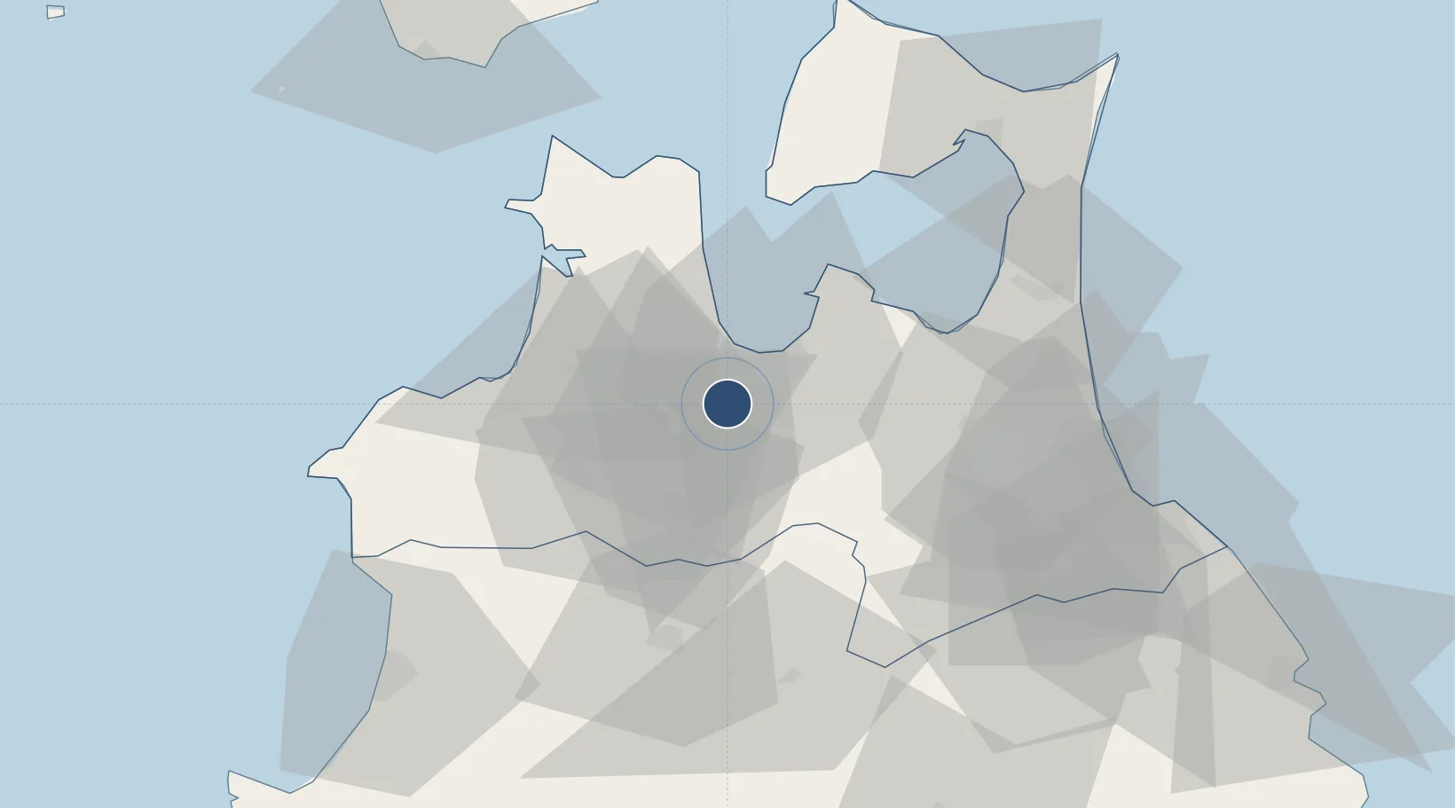
40.7338°, 140.6895°
9,846 ft
Longest runway
1
Runways
664 ft
Elevation
Runway & Layout

Radio Frequencies
TWR
118.3 MHz
ACC
133.3 MHz
SAPPORO CON
Navaids
MRE VOR-DME Aomori 114.10 MHz
Runways · 1
| Runway | Dimensions | Surface | True heading | Lit |
|---|---|---|---|---|
| 06/24 | 9,846 × 200ft | Asphalt | 052° | ✓ |
Airport Specifications
IATA code
AOJ
ICAO code
RJSA
Airport class
Large airport
Scheduled service
Yes
Runway surface
Asphalt
Served city
Aomori
Location
Nearby Logistics Neighbours
Airports
- 1Misawa Airport / Misawa Air Base57 km
- 2Odate Noshiro Airport66 km
- 3JMSDF Hachinohe Air Base / Hachinohe Airport69 km
- 4Hakodate Airport116 km
- 5Akita Airport131 km
Cities
- 1Yokohama, Aomori61 km
- 2Hachinohe70 km
- 3Ninohe73 km
- 4Fukushima, Hokkaido89 km
- 5Akitafunagawa114 km
Ports
- 1Aomori Ko12 km
- 2Hachinohe Ko76 km
- 3Noshiro Ko82 km
- 4Hakodate Ko117 km
- 5Akita-Funakawa Ko120 km
DatabookThe Record of Consolidated Knowledge
Japan beyond logistics?