Transport Functions
Multimodal
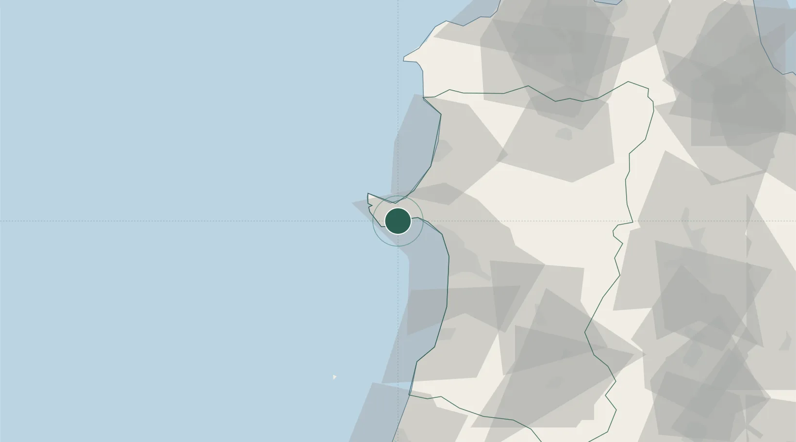
Hub Profile
Place type
Provincial seat
Region
Akita
Population
25,154
Time zone
Asia/Tokyo
Elevation
6 m
Location
Nearby Logistics Neighbours
Cities
- 1Akitafunagawa10 km
- 2Akita23 km
- 3Yurihonjo, Akita58 km
- 4Nikaho60 km
- 5Yuzawa, Akita98 km
Ports
- 1Akita-Funakawa Ko19 km
- 2Noshiro Ko40 km
- 3Sakata Ko106 km
- 4Aomori Ko131 km
- 5Hachinohe Ko163 km
Airports
- 1Akita Airport44 km
- 2Odate Noshiro Airport57 km
- 3Shonai Airport119 km
- 4Aomori Airport119 km
- 5Iwate Hanamaki Airport122 km
DatabookThe Record of Consolidated Knowledge
Japan beyond logistics?