Channel & Berth Profile
Pilotage, Tugs & Services
Pilotage compulsoryNO
Pilotage availableYES
Pilotage advisableYES
Tug assistanceYES
Shore powerYES
Potable waterYES
MedicalYES
Facilities & Capabilities
Container—
Ro-Ro—
Liquid bulk—
Dry bulk—
Oil terminal—
Break bulk—
Dry dockNO
RepairsNO
BunkeringYES
Rail linkYES
Dangerous cargo—
ISPS security—
Harbour Specifications
Harbour size
Small
Harbour type
Coastal (Breakwater)
Shelter
Good
Water body
North Pacific Ocean
Tidal range
1 m
Pilotage
No
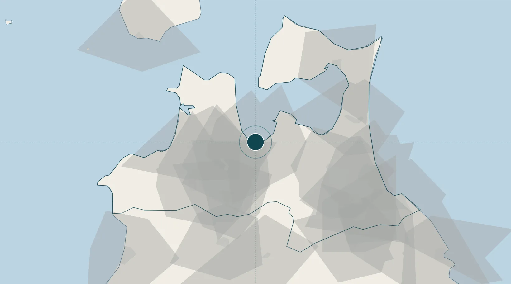
Location
Nearby Logistics Neighbours
Ports
- 1Hachinohe Ko75 km
- 2Noshiro Ko93 km
- 3Hakodate Ko106 km
- 4Esasi Ko127 km
- 5Akita-Funakawa Ko133 km
Cities
- 1Yokohama, Aomori50 km
- 2Hachinohe70 km
- 3Ninohe78 km
- 4Fukushima, Hokkaido82 km
- 5Hokuto Hokkaido110 km
Airports
DatabookThe Record of Consolidated Knowledge
Japan beyond logistics?