Transport Functions
Multimodal
Hub Profile
Region
05
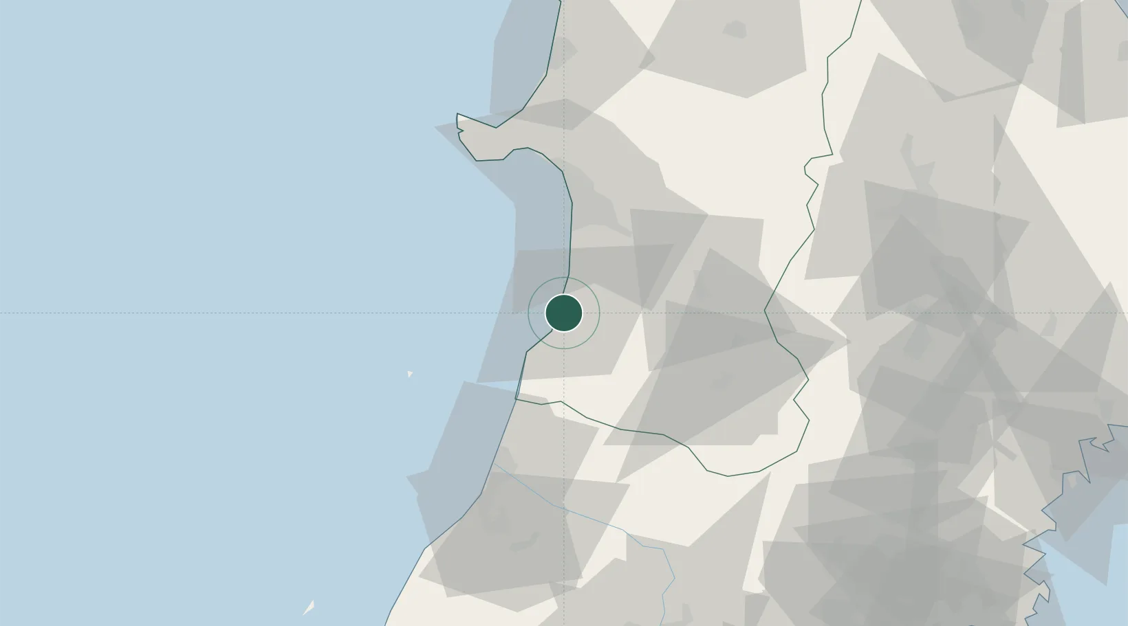
Location
Nearby Logistics Neighbours
Cities
- 1Nikaho4 km
- 2Akita42 km
- 3Yuza44 km
- 4Yuzawa, Akita47 km
- 5Sakata52 km
Ports
- 1Akita-Funakawa Ko44 km
- 2Sakata Ko53 km
- 3Noshiro Ko93 km
- 4Kesennuma Ko147 km
- 5Sendai-Shiogama147 km
Airports
- 1Akita Airport30 km
- 2Shonai Airport67 km
- 3Odate Noshiro Airport94 km
- 4Iwate Hanamaki Airport95 km
- 5Yamagata Airport112 km
DatabookThe Record of Consolidated Knowledge
Japan beyond logistics?