UN/LOCODE hub · Japan
JPNIK

Nikaho

39.3833°, 140.0833°
23,435
Population
2
Transport functions

Transport Functions

Port
Multimodal
UN/LOCODE

Hub Profile

Place type
Provincial seat
GeoNames
Region
Akita
GeoNames
Population
23,435
GeoNames
Time zone
Asia/Tokyo
GeoNames
Elevation
47 m
GeoNames

Location

Location of JPNIK
Natural Earth 10m (public domain) · Akita · JPNIK · 39.38, 140.08GoogleOSMYandex

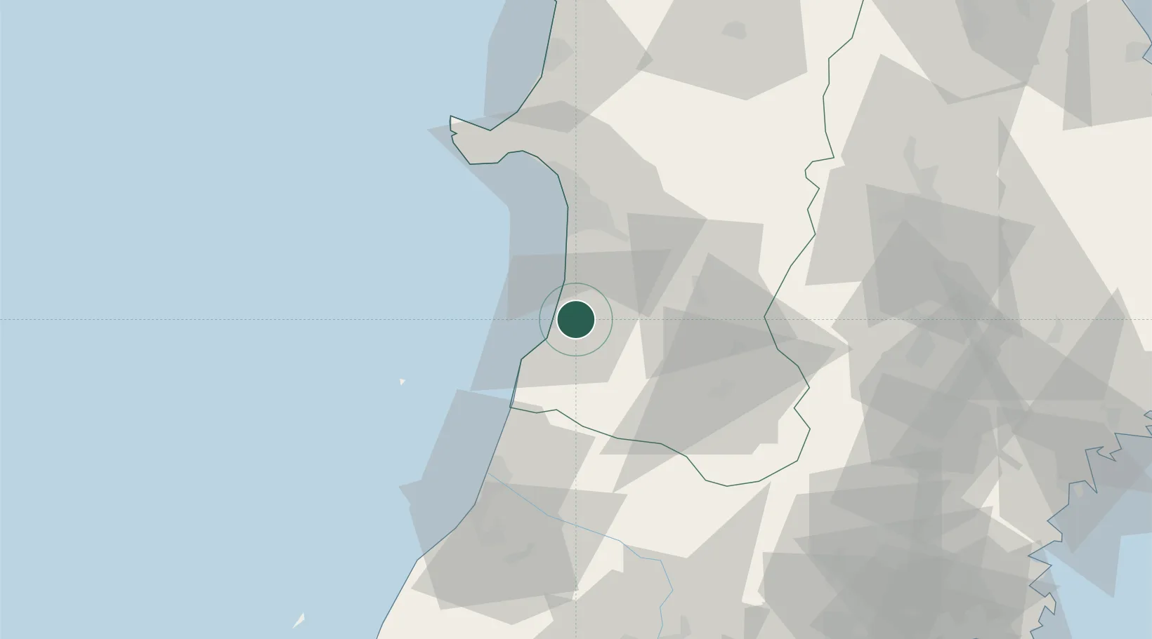
Nearby Logistics Neighbours

Cities
  1. 1Yurihonjo, Akita4 km
  2. 2Akita42 km
  3. 3Yuzawa, Akita43 km
  4. 4Yuza45 km
  5. 5Sakata54 km
Nearest neighbours — logibook spatial index (haversine) over the source coordinates
Ports
  1. 1Akita-Funakawa Ko45 km
  2. 2Sakata Ko55 km
  3. 3Noshiro Ko93 km
  4. 4Kesennuma Ko143 km
  5. 5Sendai-Shiogama144 km
Nearest neighbours — logibook spatial index (haversine) over the source coordinates
Airports
  1. 1Akita Airport28 km
  2. 2Shonai Airport69 km
  3. 3Iwate Hanamaki Airport91 km
  4. 4Odate Noshiro Airport93 km
  5. 5Yamagata Airport111 km
Nearest neighbours — logibook spatial index (haversine) over the source coordinates
DatabookThe Record of Consolidated Knowledge
Japan beyond logistics?
Browse databook

All Sources

LocationsUN/LOCODE
UN/LOCODE — free
LocationsGeoNames
CC BY 4.0
Portsthe NGA World Port Index
Public domain (US gov)
AirportsOurAirports
Public domain
Trade Zonesthe World Bank SEZ database
CC BY 4.0
Trade ZonesOpen Zone Map
CC BY
← Japan locations