Channel & Berth Profile
Pilotage, Tugs & Services
Pilotage compulsoryNO
Pilotage availableYES
Local assistanceYES
Tug assistanceNO
Salvage tugsNO
Potable waterYES
Diesel bunkersYES
MedicalYES
Facilities & Capabilities
ContainerNO
Ro-RoYES
Liquid bulkNO
Dry bulkYES
Oil terminalNO
Break bulkYES
Dry dock—
RepairsNO
BunkeringYES
Rail link—
Dangerous cargo—
ISPS securityYES
Harbour Specifications
Harbour size
Small
Harbour type
Coastal (Breakwater)
Shelter
Fair
Water body
Irish Sea; North Atlantic Ocean
Tidal range
2 m
Overhead limit
Yes
Pilotage
No
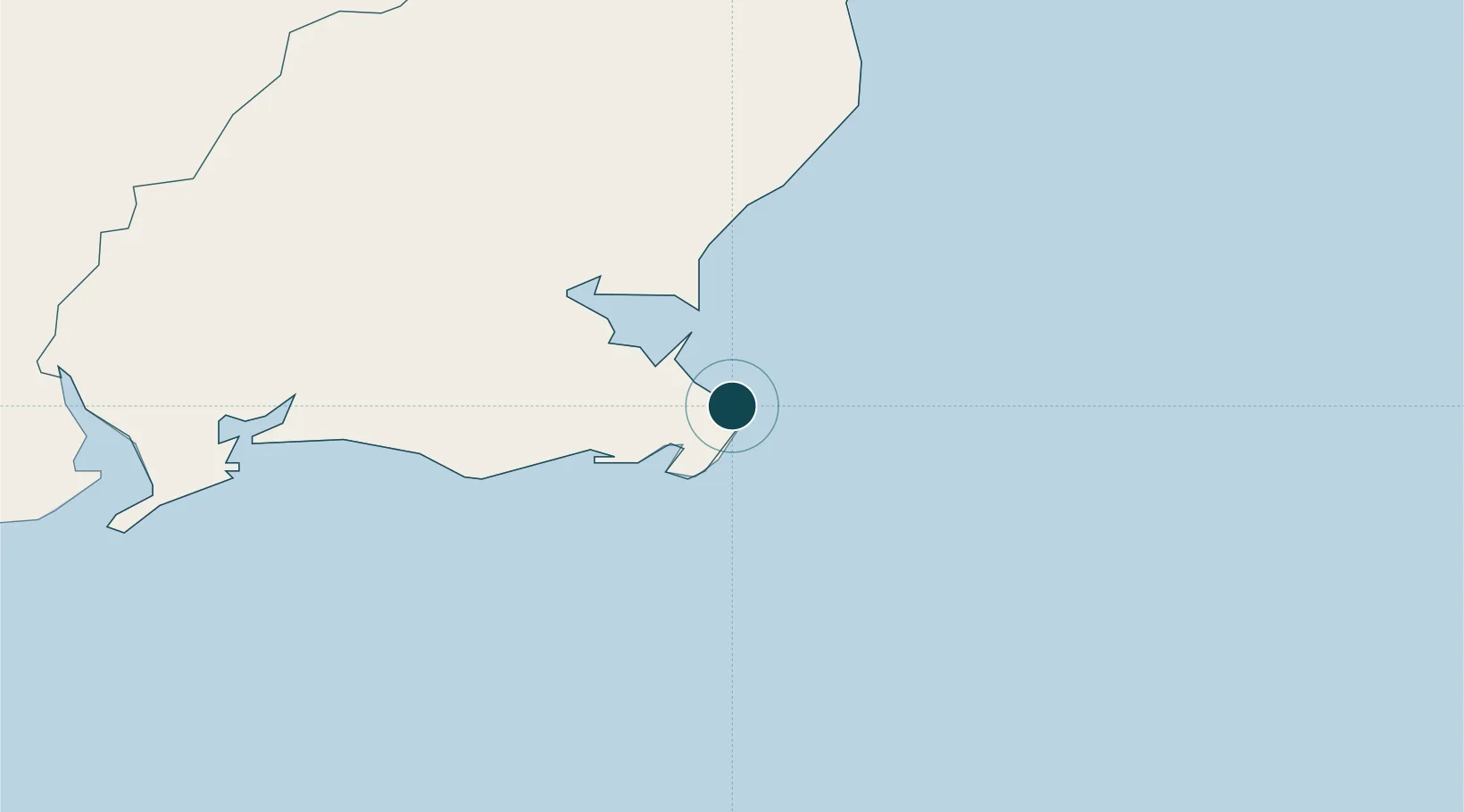
Location
Nearby Logistics Neighbours
Ports
- 1New Ross45 km
- 2Waterford53 km
- 3Fishguard96 km
- 4Milford Haven107 km
- 5Dublin122 km
Cities
- 1Fethard/Slade35 km
- 2New Ross43 km
- 3Waterford Great Island (ESB)44 km
- 4Duncannon/Saint Helens44 km
- 5Marshmeadows/New Ross45 km
Airports
- 1Waterford Airport52 km
- 2Haverfordwest Airport105 km
- 3Casement Air Base117 km
- 4Weston Airport123 km
- 5Dublin Airport131 km
Trade Zones
DatabookThe Record of Consolidated Knowledge
Ireland beyond logistics?