Channel & Berth Profile
Pilotage, Tugs & Services
Pilotage compulsoryYES
Pilotage availableYES
Tug assistanceYES
Potable waterYES
MedicalYES
Garbage disposalYES
Facilities & Capabilities
ContainerNO
Ro-RoNO
Liquid bulkYES
Dry bulkYES
Oil terminalNO
Break bulkYES
Dry dock—
RepairsNO
BunkeringYES
Rail linkYES
Dangerous cargo—
ISPS security—
Harbour Specifications
Harbour size
Small
Harbour type
River (Natural)
Shelter
Fair
Water body
Celtic Sea; North Atlantic Ocean
Tidal range
4 m
Overhead limit
Yes
Pilotage
Yes
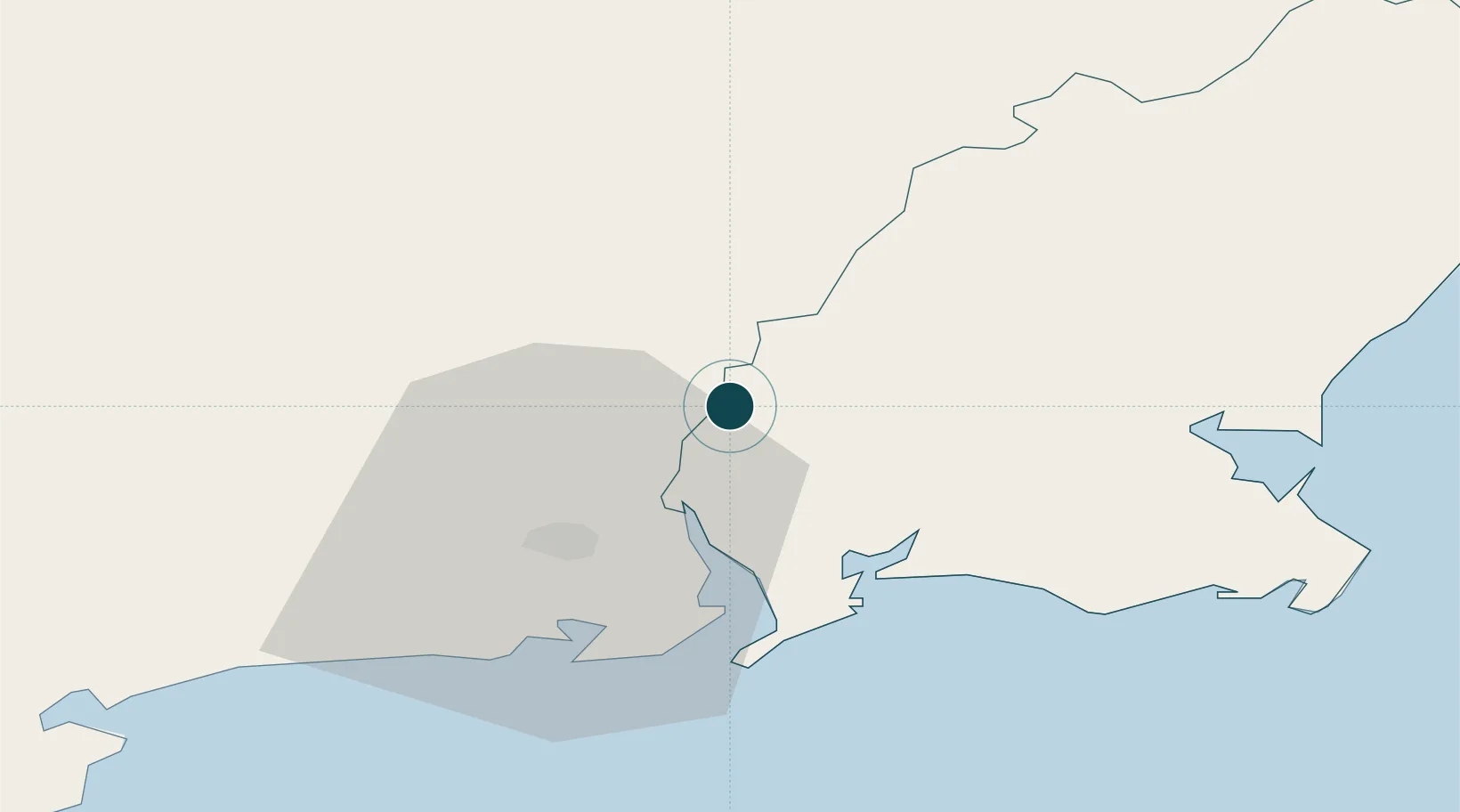
Location
Nearby Logistics Neighbours
Cities
- 1Marshmeadows/New Ross0 km
- 2New Ross-Raheen/Roberscon0 km
- 3Stokestown/New Ross4 km
- 4Waterford Great Island (ESB)13 km
- 5Waterford14 km
Airports
- 1Waterford Airport24 km
- 2Casement Air Base108 km
- 3Weston Airport112 km
- 4Cork International Airport121 km
- 5Dublin Airport125 km
Trade Zones
DatabookThe Record of Consolidated Knowledge
Ireland beyond logistics?