Seaport · Ireland
WaterfordIEWAT
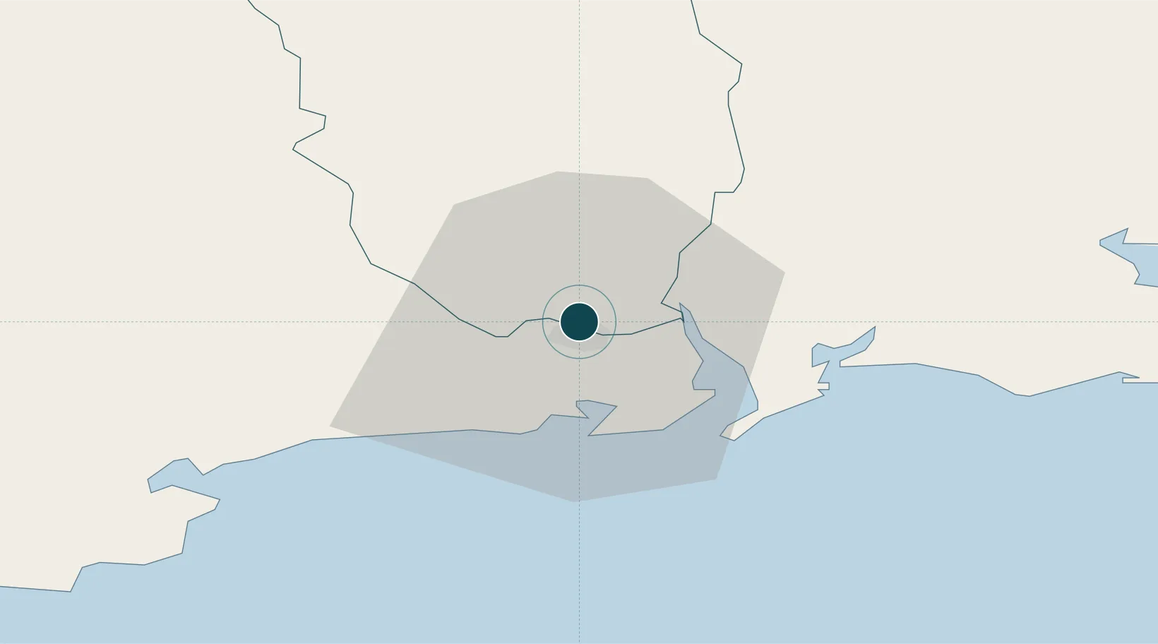
52.2667°, -7.1167°
6.5 m
Channel depth
1
Container terminals
12.3
Port liner connectivity
Channel & Berth Profile
Pilotage, Tugs & Services
Pilotage compulsoryYES
Pilotage availableYES
Pilotage advisableYES
Tug assistanceNO
Salvage tugsNO
Potable waterYES
Diesel bunkersYES
MedicalYES
Garbage disposalYES
Facilities & Capabilities
Container—
Ro-Ro—
Liquid bulk—
Dry bulk—
Oil terminalYES
Break bulkYES
Dry dock—
RepairsNO
BunkeringYES
Rail linkYES
Dangerous cargo—
ISPS security—
Harbour Specifications
Harbour size
Very Small
Harbour type
River (Natural)
Shelter
Good
Water body
Celtic Sea; North Atlantic Ocean
Tidal range
4.7 m
Overhead limit
Yes
Pilotage
Yes
Liner Connectivity
12.3
PLSCI
Port Liner Shipping Connectivity Index for Waterford, as published by UNCTAD for the latest available quarter. Higher values indicate stronger scheduled liner-shipping integration.
Shown relative to the highest per-port PLSCI in the dataset (1,657.9).
Location
Container Terminals · 1
BELVIEW CONTAINER TERMINAL WATERFORD
BLVW PORT OF WATERFORD
Nearby Logistics Neighbours
Cities
- 1Waterford City Quays2 km
- 2Waterford Great Island (ESB)9 km
- 3Duncannon/Saint Helens11 km
- 4Stokestown/New Ross13 km
- 5Marshmeadows/New Ross17 km
Airports
- 1Waterford Airport9 km
- 2Cork International Airport105 km
- 3Casement Air Base124 km
- 4Weston Airport128 km
- 5Shannon Airport132 km
Trade Zones
DatabookThe Record of Consolidated Knowledge
Ireland beyond logistics?