Channel & Berth Profile
Pilotage, Tugs & Services
Pilotage compulsoryYES
Pilotage availableYES
Pilotage advisableYES
Tug assistanceYES
Potable waterYES
Diesel bunkersYES
MedicalYES
Garbage disposalYES
Facilities & Capabilities
ContainerYES
Ro-RoYES
Liquid bulkYES
Dry bulkYES
Oil terminalYES
Break bulkYES
Dry dockNO
RepairsNO
BunkeringYES
Rail linkYES
Dangerous cargo—
ISPS securityYES
Harbour Specifications
Harbour size
Medium
Harbour type
Coastal (Breakwater)
Shelter
Excellent
Water body
Irish Sea; North Atlantic Ocean
Tidal range
4 m
Overhead limit
Yes
Pilotage
Yes
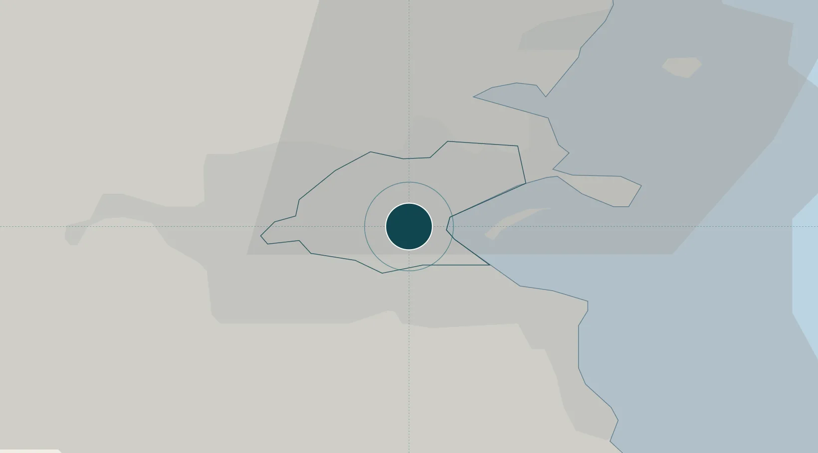
Location
Nearby Logistics Neighbours
Ports
- 1Drogheda41 km
- 2Greenore76 km
- 3Kilkeel80 km
- 4Warren Point83 km
- 5Holyhead107 km
Cities
- 1Dublin2 km
- 2Dublin-Ferryport Terminal 34 km
- 3Dublin-Dublin Ferryport Terminals4 km
- 4Ballsbridge4 km
- 5ESB Poolbeg-Dublin5 km
Airports
- 1Dublin Airport9 km
- 2Casement Air Base14 km
- 3Weston Airport16 km
- 4Anglesey Airport115 km
- 5Isle of Man Airport135 km
Trade Zones
DatabookThe Record of Consolidated Knowledge
Ireland beyond logistics?