Transport Functions
Port
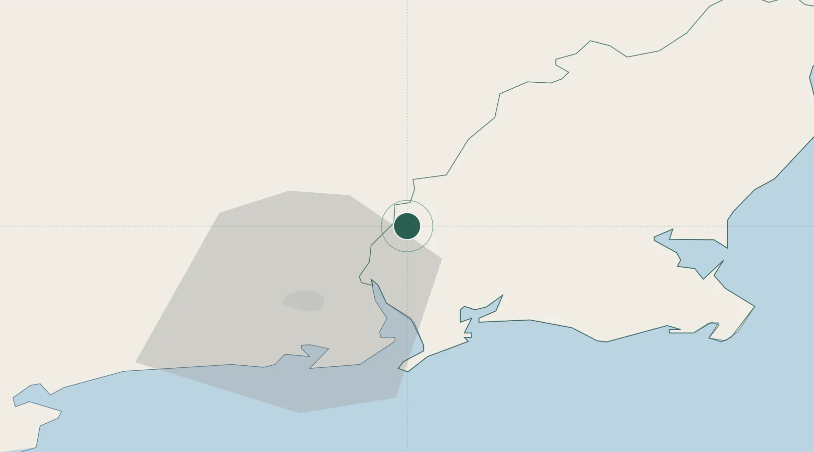
Hub Profile
Place type
Populated place
Region
Leinster
Population
8,040
Time zone
Europe/Dublin
Elevation
53 m
Location
Nearby Logistics Neighbours
Cities
- 1Marshmeadows/New Ross1 km
- 2New Ross-Raheen/Roberscon1 km
- 3Stokestown/New Ross5 km
- 4Waterford Great Island (ESB)13 km
- 5Waterford15 km
Airports
- 1Waterford Airport24 km
- 2Casement Air Base107 km
- 3Weston Airport112 km
- 4Cork International Airport122 km
- 5Dublin Airport125 km
Trade Zones
DatabookThe Record of Consolidated Knowledge
Ireland beyond logistics?