Medium airport · United Kingdom

Haverfordwest AirportEGFE
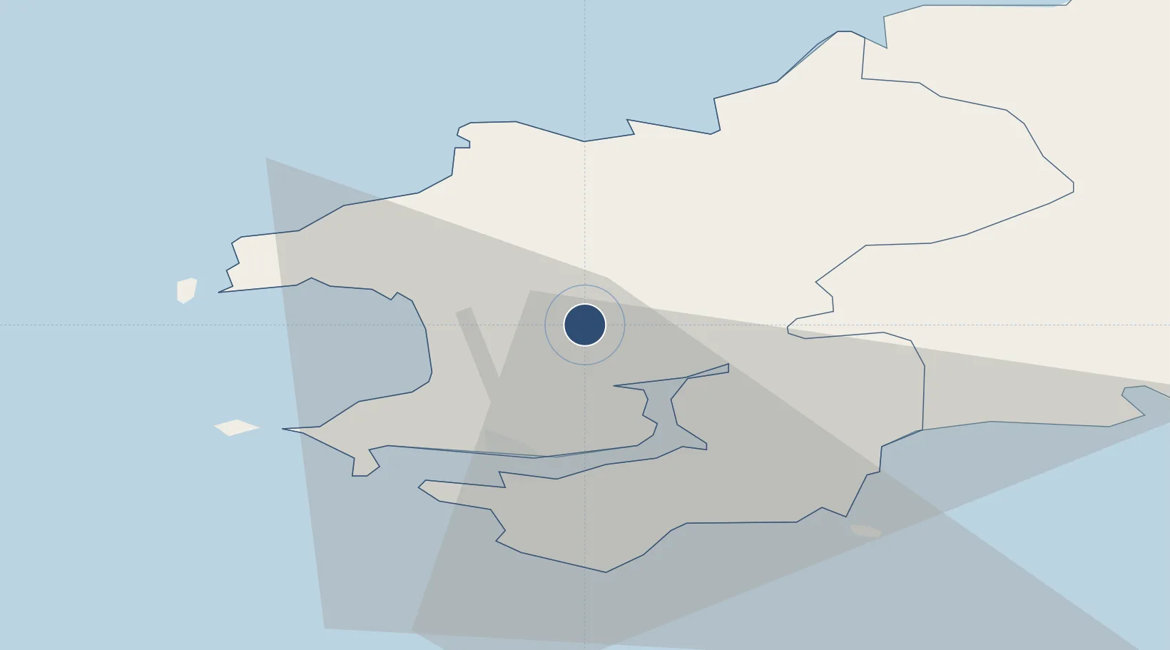
51.8331°, -4.9611°
5,000 ft
Longest runway
2
Runways
159 ft
Elevation

Runway & Layout

Haverfordwest Airport runway & taxiway layout
Runway & taxiway layout — OpenStreetMap (ODbL) / OurAirports

Radio Frequencies

A/G
122.2 MHz
RDO
OurAirports

Navaids

HAV NDB Haverfordwest 328 kHz
HDW DME Haverfordwest 116.75 MHz
OurAirports

Runways · 2

RunwayDimensions SurfaceTrue headingLit
03/21 5,000 × 148ft Asphalt 030°
09/27 3,412 × 148ft Asphalt 088°
OurAirports

Airport Specifications

IATA code
HAW
OurAirports
ICAO code
EGFE
OurAirports
Airport class
Medium airport
OurAirports
Scheduled service
No
OurAirports
Runway surface
Asphalt
OurAirports
Served city
Haverfordwest
OurAirports

Location

Location of EGFE
Natural Earth 10m (public domain) · Pembrokeshire · EGFE · 51.83, -4.96GoogleOSMYandex

Nearby Logistics Neighbours

Airports
  1. 1Swansea Airport67 km
  2. 2Lundy Island Helipad77 km
  3. 3Hartland Point Heliport96 km
  4. 4Royal Marines Base Chivenor100 km
  5. 5MOD St Athan116 km
Nearest neighbours — logibook spatial index (haversine) over the source coordinates
Cities
  1. 1Little Haven12 km
  2. 2Bethesda14 km
  3. 3Steynton14 km
  4. 4Milford Haven14 km
  5. 5Neyland15 km
Nearest neighbours — logibook spatial index (haversine) over the source coordinates
Ports
  1. 1Milford Haven14 km
  2. 2Fishguard21 km
  3. 3Swansea74 km
  4. 4Neath81 km
  5. 5Port Talbot84 km
Nearest neighbours — logibook spatial index (haversine) over the source coordinates
Trade Zones
  1. 1Cornwall Newquay Aerohub Enterprise Zone156 km
  2. 2Hereford Enterprise Zone158 km
  3. 3Ceramics Valley159 km
  4. 4Exeter & East Devon Enterprise Zone161 km
  5. 5Bristol Temple Quarter Enterprise Zone170 km
Nearest neighbours — logibook spatial index (haversine) over the source coordinates
DatabookThe Record of Consolidated Knowledge
United Kingdom beyond logistics?
Browse databook

All Sources

AirportsOurAirports
Public domain
Portsthe NGA World Port Index
Public domain (US gov)
LocationsUN/LOCODE
UN/LOCODE — free
Trade Zonesthe World Bank SEZ database
CC BY 4.0
Trade ZonesOpen Zone Map
CC BY
InfrastructureOpenStreetMap
ODbL 1.0
← United Kingdom airports