UN/LOCODE hub · Ireland
IEFTD

Fethard/Slade

52.2000°, -6.8333°
2
Transport functions

Transport Functions

Port
Road
UN/LOCODE

Hub Profile

Region
TA
GeoNames

Location

Location of IEFTD
Natural Earth 10m (public domain) · TA · IEFTD · 52.20, -6.83GoogleOSMYandex

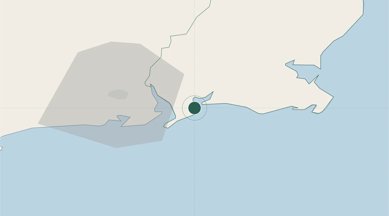
Nearby Logistics Neighbours

Cities
  1. 1Duncannon/Saint Helens10 km
  2. 2Waterford Great Island (ESB)13 km
  3. 3Waterford16 km
  4. 4Waterford City Quays19 km
  5. 5Stokestown/New Ross20 km
Nearest neighbours — logibook spatial index (haversine) over the source coordinates
Ports
  1. 1Waterford21 km
  2. 2New Ross22 km
  3. 3Rosslare35 km
  4. 4Cork106 km
  5. 5Cobh108 km
Nearest neighbours — logibook spatial index (haversine) over the source coordinates
Airports
  1. 1Waterford Airport17 km
  2. 2Cork International Airport120 km
  3. 3Casement Air Base125 km
  4. 4Weston Airport130 km
  5. 5Haverfordwest Airport135 km
Nearest neighbours — logibook spatial index (haversine) over the source coordinates
Trade Zones
  1. 1Dublin International Financial Services Centre134 km
  2. 2Shannon Free Zone151 km
  3. 3Cornwall Newquay Aerohub Enterprise Zone235 km
  4. 4Isle of Man Free Zone and Business Park257 km
  5. 5Oceansgate Plymouth275 km
Nearest neighbours — logibook spatial index (haversine) over the source coordinates
DatabookThe Record of Consolidated Knowledge
Ireland beyond logistics?
Browse databook

All Sources

LocationsUN/LOCODE
UN/LOCODE — free
Portsthe NGA World Port Index
Public domain (US gov)
AirportsOurAirports
Public domain
Trade Zonesthe World Bank SEZ database
CC BY 4.0
Trade ZonesOpen Zone Map
CC BY
← Ireland locations