UN/LOCODE hub · Ireland
IEWGI

Waterford Great Island (ESB)

52.2667°, -6.9833°
1
Transport functions

Transport Functions

Port
UN/LOCODE

Hub Profile

Region
WD
GeoNames

Location

Location of IEWGI
Natural Earth 10m (public domain) · WD · IEWGI · 52.27, -6.98GoogleOSMYandex

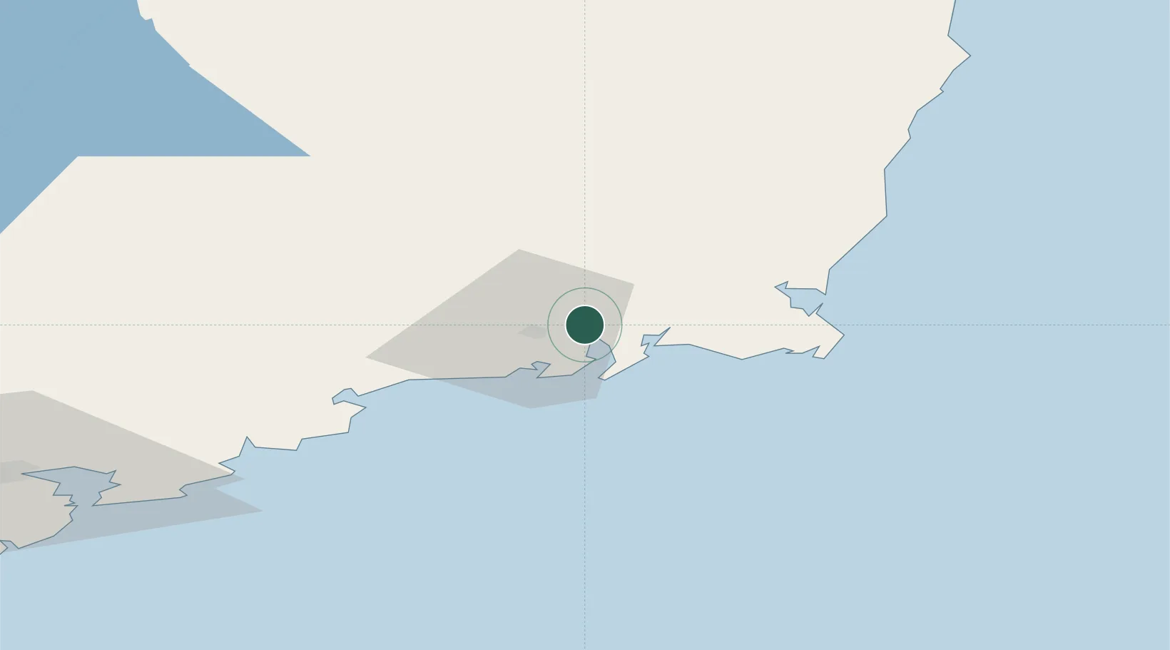
Nearby Logistics Neighbours

Cities
  1. 1Waterford4 km
  2. 2Duncannon/Saint Helens6 km
  3. 3Waterford City Quays8 km
  4. 4Stokestown/New Ross9 km
  5. 5Fethard/Slade13 km
Nearest neighbours — logibook spatial index (haversine) over the source coordinates
Ports
  1. 1Waterford9 km
  2. 2New Ross13 km
  3. 3Rosslare44 km
  4. 4Cork99 km
  5. 5Cobh101 km
Nearest neighbours — logibook spatial index (haversine) over the source coordinates
Airports
  1. 1Waterford Airport11 km
  2. 2Cork International Airport113 km
  3. 3Casement Air Base121 km
  4. 4Weston Airport125 km
  5. 5Dublin Airport138 km
Nearest neighbours — logibook spatial index (haversine) over the source coordinates
Trade Zones
  1. 1Dublin International Financial Services Centre130 km
  2. 2Shannon Free Zone138 km
  3. 3Cornwall Newquay Aerohub Enterprise Zone246 km
  4. 4Isle of Man Free Zone and Business Park257 km
  5. 5Oceansgate Plymouth287 km
Nearest neighbours — logibook spatial index (haversine) over the source coordinates
DatabookThe Record of Consolidated Knowledge
Ireland beyond logistics?
Browse databook

All Sources

LocationsUN/LOCODE
UN/LOCODE — free
Portsthe NGA World Port Index
Public domain (US gov)
AirportsOurAirports
Public domain
Trade Zonesthe World Bank SEZ database
CC BY 4.0
Trade ZonesOpen Zone Map
CC BY
← Ireland locations