UN/LOCODE hub · Ireland
IEDCN

Duncannon/Saint Helens

52.2167°, -6.9833°
2
Transport functions

Transport Functions

Port
Road
UN/LOCODE

Hub Profile

Region
WX
GeoNames

Location

Location of IEDCN
Natural Earth 10m (public domain) · WX · IEDCN · 52.22, -6.98GoogleOSMYandex

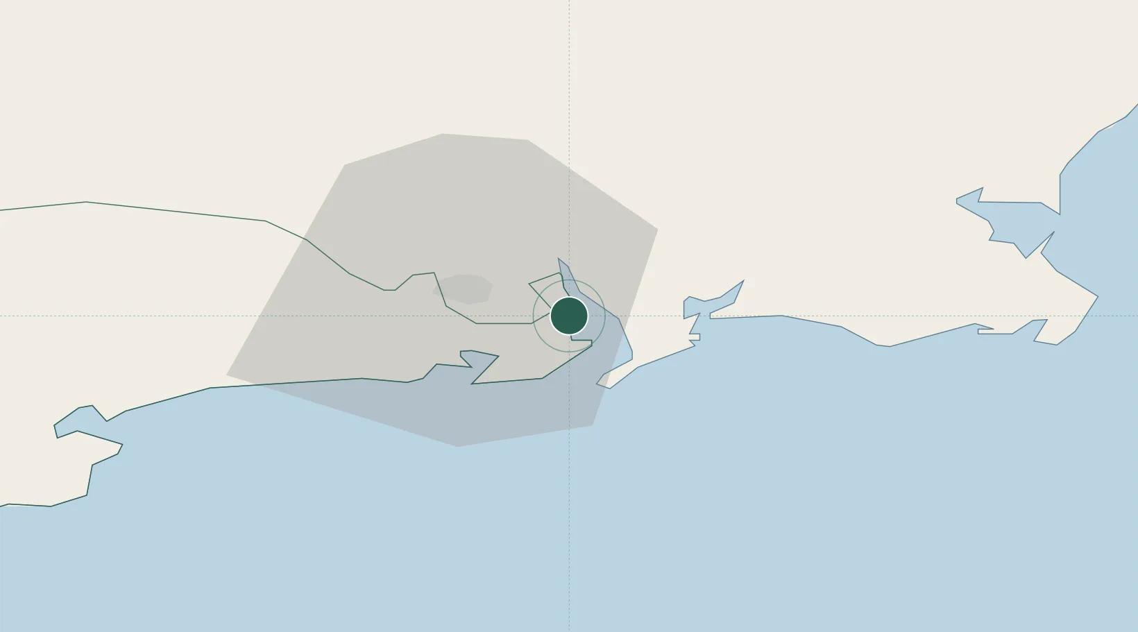
Nearby Logistics Neighbours

Cities
  1. 1Waterford Great Island (ESB)6 km
  2. 2Waterford7 km
  3. 3Waterford City Quays9 km
  4. 4Fethard/Slade10 km
  5. 5Stokestown/New Ross15 km
Nearest neighbours — logibook spatial index (haversine) over the source coordinates
Ports
  1. 1Waterford11 km
  2. 2New Ross19 km
  3. 3Rosslare44 km
  4. 4Cork97 km
  5. 5Cobh99 km
Nearest neighbours — logibook spatial index (haversine) over the source coordinates
Airports
  1. 1Waterford Airport8 km
  2. 2Cork International Airport111 km
  3. 3Casement Air Base126 km
  4. 4Weston Airport131 km
  5. 5Shannon Airport142 km
Nearest neighbours — logibook spatial index (haversine) over the source coordinates
Trade Zones
  1. 1Dublin International Financial Services Centre135 km
  2. 2Shannon Free Zone140 km
  3. 3Cornwall Newquay Aerohub Enterprise Zone242 km
  4. 4Isle of Man Free Zone and Business Park261 km
  5. 5Oceansgate Plymouth283 km
Nearest neighbours — logibook spatial index (haversine) over the source coordinates
DatabookThe Record of Consolidated Knowledge
Ireland beyond logistics?
Browse databook

All Sources

LocationsUN/LOCODE
UN/LOCODE — free
Portsthe NGA World Port Index
Public domain (US gov)
AirportsOurAirports
Public domain
Trade Zonesthe World Bank SEZ database
CC BY 4.0
Trade ZonesOpen Zone Map
CC BY
← Ireland locations