Transport Functions
Port
Hub Profile
Region
WX
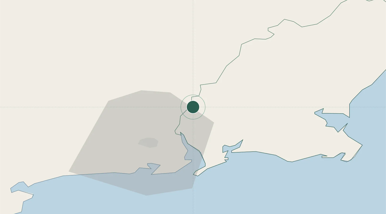
Location
Nearby Logistics Neighbours
Cities
- 1New Ross-Raheen/Roberscon0 km
- 2New Ross1 km
- 3Stokestown/New Ross4 km
- 4Waterford Great Island (ESB)13 km
- 5Waterford14 km
Airports
- 1Waterford Airport24 km
- 2Casement Air Base108 km
- 3Weston Airport112 km
- 4Cork International Airport121 km
- 5Dublin Airport125 km
Trade Zones
DatabookThe Record of Consolidated Knowledge
Ireland beyond logistics?