Medium airport · Ireland

Casement Air BaseEIME
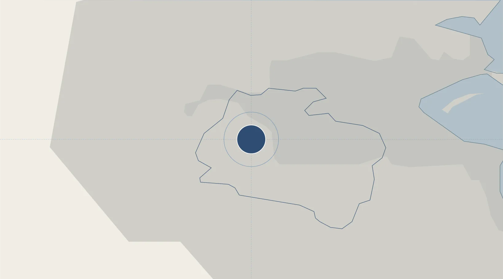
53.3017°, -6.4513°
6,001 ft
Longest runway
2
Runways
319 ft
Elevation

Runway & Layout

Casement Air Base runway & taxiway layout
Runway & taxiway layout — OpenStreetMap (ODbL) / OurAirports

Radio Frequencies

ATIS
122.8 MHz
AREA
TWR
123.5 MHz
BALDONNEL TWR
GND
123.1 MHz
BALDONNEL GND
APP
122 MHz
BALDONNEL APP
OurAirports

Navaids

BAL VOR-DME Baldonnel 115.80 MHz
OurAirports

Runways · 2

RunwayDimensions SurfaceTrue headingLit
10/28 6,001 × 150ft Asphalt 108°
04/22 4,800 × 150ft Asphalt 041°
OurAirports

Airport Specifications

ICAO code
EIME
OurAirports
Airport class
Medium airport
OurAirports
Scheduled service
No
OurAirports
Runway surface
Asphalt
OurAirports
Served city
Baldonnel
OurAirports

Location

Location of EIME
Natural Earth 10m (public domain) · South Dublin · EIME · 53.30, -6.45GoogleOSMYandex

Nearby Logistics Neighbours

Airports
  1. 1Weston Airport6 km
  2. 2Dublin Airport19 km
  3. 3Anglesey Airport128 km
  4. 4Waterford Airport131 km
  5. 5Enniskillen/St Angelo Airport145 km
Nearest neighbours — logibook spatial index (haversine) over the source coordinates
Cities
  1. 1Whitestown10 km
  2. 2Blanchardstown11 km
  3. 3Dublin-Ferryport Terminal 315 km
  4. 4Dublin-Dublin Ferryport Terminals15 km
  5. 5Dublin-Marine Terminal15 km
Nearest neighbours — logibook spatial index (haversine) over the source coordinates
Ports
  1. 1Dublin14 km
  2. 2Drogheda47 km
  3. 3Greenore84 km
  4. 4Kilkeel89 km
  5. 5Warren Point90 km
Nearest neighbours — logibook spatial index (haversine) over the source coordinates
Trade Zones
  1. 1Dublin International Financial Services Centre15 km
  2. 2Isle of Man Free Zone and Business Park149 km
  3. 3Shannon Free Zone177 km
  4. 4Mersey Waters Enterprise Zone228 km
  5. 5Blackpool Enterprise Zone232 km
Nearest neighbours — logibook spatial index (haversine) over the source coordinates
DatabookThe Record of Consolidated Knowledge
Ireland beyond logistics?
Browse databook

All Sources

AirportsOurAirports
Public domain
Portsthe NGA World Port Index
Public domain (US gov)
LocationsUN/LOCODE
UN/LOCODE — free
Trade Zonesthe World Bank SEZ database
CC BY 4.0
Trade ZonesOpen Zone Map
CC BY
InfrastructureOpenStreetMap
ODbL 1.0
← Ireland airports