Channel & Berth Profile
Pilotage, Tugs & Services
Pilotage compulsoryYES
Pilotage availableYES
Pilotage advisableYES
Shore powerYES
Potable waterYES
Diesel bunkersYES
MedicalYES
Garbage disposalYES
Facilities & Capabilities
Container—
Ro-Ro—
Liquid bulk—
Dry bulk—
Oil terminal—
Break bulk—
Dry dockNO
RepairsNO
BunkeringYES
Rail linkYES
Dangerous cargo—
ISPS security—
Harbour Specifications
Harbour size
Medium
Harbour type
River (Natural)
Shelter
Fair
Water body
Celtic Sea; North Atlantic Ocean
Tidal range
4 m
Overhead limit
No
Pilotage
Yes
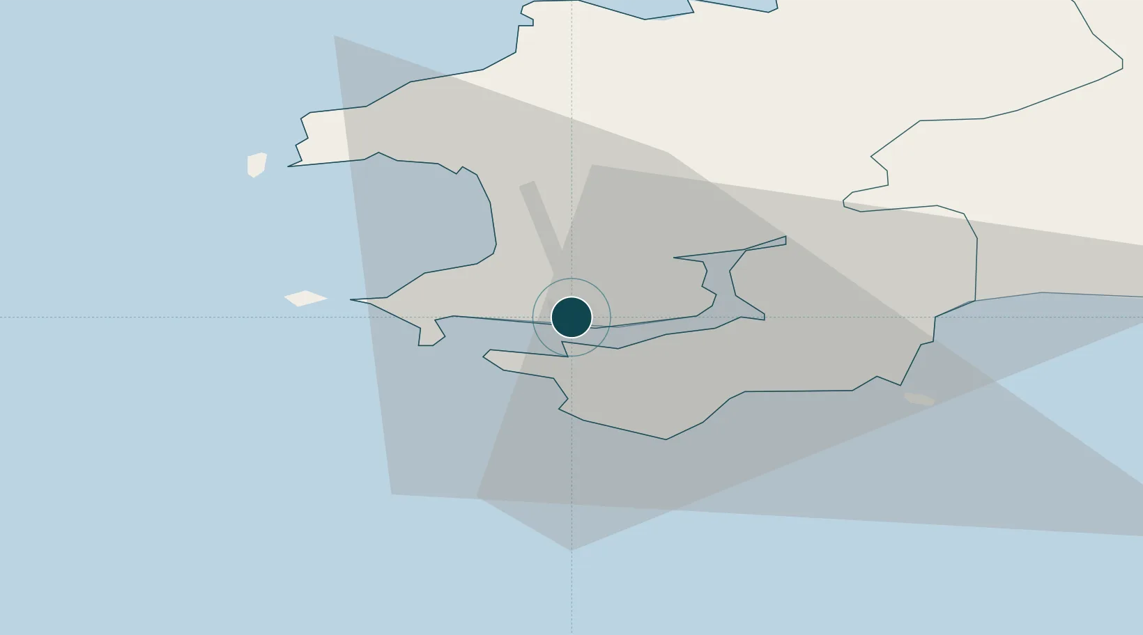
Location
Nearby Logistics Neighbours
Ports
- 1Fishguard34 km
- 2Swansea76 km
- 3Neath83 km
- 4Port Talbot85 km
- 5Bideford96 km
Cities
- 1Steynton1 km
- 2Neyland7 km
- 3Little Haven7 km
- 4Dale Roads8 km
- 5Pembroke11 km
Airports
- 1Haverfordwest Airport14 km
- 2Lundy Island Helipad66 km
- 3Swansea Airport68 km
- 4Hartland Point Heliport86 km
- 5Royal Marines Base Chivenor93 km
Trade Zones
DatabookThe Record of Consolidated Knowledge
United Kingdom beyond logistics?