Medium airport · Ireland
Weston AirportEIWT
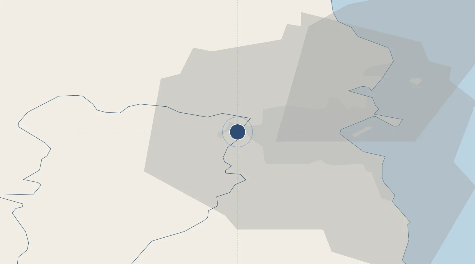
53.3516°, -6.4904°
3,038 ft
Longest runway
1
Runways
150 ft
Elevation
Runway & Layout

Radio Frequencies
ATIS
118.87 MHz
ground
119.42 MHz
Weston ground
A/G
122.4 MHz
Weston tower
Navaids
WST VOR-DME Weston 114.70 MHz
Runways · 1
| Runway | Dimensions | Surface | True heading | Lit |
|---|---|---|---|---|
| 07/25 | 3,038 × 23ft | ASPH | 067° | — |
Airport Specifications
ICAO code
EIWT
Airport class
Medium airport
Scheduled service
No
Runway surface
ASPH
Served city
Leixlip
Location
Nearby Logistics Neighbours
Airports
- 1Casement Air Base6 km
- 2Dublin Airport17 km
- 3Anglesey Airport130 km
- 4Waterford Airport136 km
- 5Enniskillen/St Angelo Airport139 km
Cities
- 1Whitestown7 km
- 2Blanchardstown9 km
- 3Dublin-Marine Terminal17 km
- 4Dublin18 km
- 5Dublin-Ferryport Terminal 318 km
Ports
- 1Dublin16 km
- 2Drogheda43 km
- 3Greenore79 km
- 4Kilkeel85 km
- 5Warren Point85 km
Trade Zones
DatabookThe Record of Consolidated Knowledge
Ireland beyond logistics?