Channel & Berth Profile
Pilotage, Tugs & Services
Pilotage compulsoryYES
Pilotage availableYES
Local assistanceYES
Tug assistanceYES
Salvage tugsNO
Shore powerYES
Potable waterYES
Diesel bunkersYES
MedicalYES
Garbage disposalYES
Facilities & Capabilities
Container—
Ro-Ro—
Liquid bulk—
Dry bulk—
Oil terminal—
Break bulk—
Dry dock—
RepairsNO
BunkeringYES
Rail linkYES
Dangerous cargo—
ISPS security—
Harbour Specifications
Harbour size
Small
Harbour type
Coastal (Breakwater)
Shelter
Good
Water body
Irish Sea; North Atlantic Ocean
Tidal range
4 m
Overhead limit
Yes
Pilotage
Yes
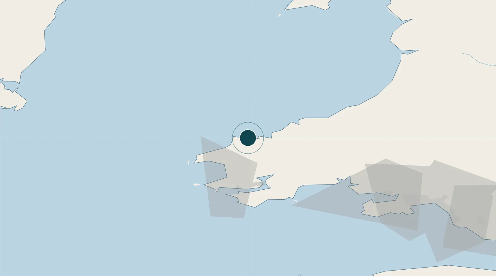
Location
Nearby Logistics Neighbours
Ports
- 1Milford Haven34 km
- 2Swansea84 km
- 3Neath90 km
- 4Port Talbot94 km
- 5Rosslare96 km
Cities
- 1Abercastle12 km
- 2Porthgain16 km
- 3Solva (Solfach)22 km
- 4Tyddewi (St David's)24 km
- 5Cardigan (Aberteifi)24 km
Airports
- 1Haverfordwest Airport21 km
- 2Swansea Airport78 km
- 3Lundy Island Helipad97 km
- 4Hartland Point Heliport116 km
- 5Royal Marines Base Chivenor118 km
Trade Zones
DatabookThe Record of Consolidated Knowledge
United Kingdom beyond logistics?