Medium airport · Ireland

Waterford AirportEIWF
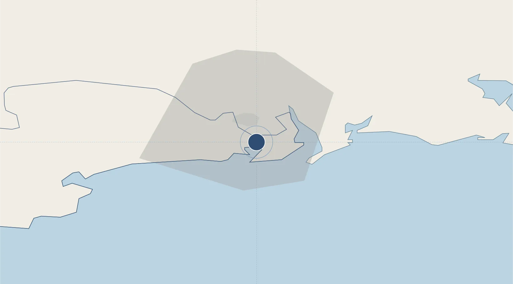
52.1872°, -7.0870°
4,701 ft
Longest runway
1
Runways
119 ft
Elevation

Runway & Layout

Waterford Airport runway & taxiway layout
Runway & taxiway layout — OpenStreetMap (ODbL) / OurAirports

Radio Frequencies

ATIS
121.15 MHz
TWR
129.85 MHz
GND
121.6 MHz
INFO
129.85 MHz
OurAirports

Navaids

WTD NDB Waterford 368 kHz
OurAirports

Runways · 1

RunwayDimensions SurfaceTrue headingLit
03/21 4,701 × 98ft Asphalt 021°
OurAirports

Airport Specifications

IATA code
WAT
OurAirports
ICAO code
EIWF
OurAirports
Airport class
Medium airport
OurAirports
Scheduled service
No
OurAirports
Runway surface
Asphalt
OurAirports
Served city
Waterford
OurAirports

Location

Location of EIWF
Natural Earth 10m (public domain) · Waterford · EIWF · 52.19, -7.09GoogleOSMYandex

Nearby Logistics Neighbours

Airports
  1. 1Cork International Airport104 km
  2. 2Casement Air Base131 km
  3. 3Weston Airport136 km
  4. 4Shannon Airport137 km
  5. 5Dublin Airport149 km
Nearest neighbours — logibook spatial index (haversine) over the source coordinates
Cities
  1. 1Waterford City Quays7 km
  2. 2Duncannon/Saint Helens8 km
  3. 3Waterford9 km
  4. 4Waterford Great Island (ESB)11 km
  5. 5Fethard/Slade17 km
Nearest neighbours — logibook spatial index (haversine) over the source coordinates
Ports
  1. 1Waterford9 km
  2. 2New Ross24 km
  3. 3Rosslare52 km
  4. 4Cork89 km
  5. 5Cobh91 km
Nearest neighbours — logibook spatial index (haversine) over the source coordinates
Trade Zones
  1. 1Shannon Free Zone135 km
  2. 2Dublin International Financial Services Centre141 km
  3. 3Cornwall Newquay Aerohub Enterprise Zone243 km
  4. 4Isle of Man Free Zone and Business Park268 km
  5. 5Oceansgate Plymouth286 km
Nearest neighbours — logibook spatial index (haversine) over the source coordinates
DatabookThe Record of Consolidated Knowledge
Ireland beyond logistics?
Browse databook

All Sources

AirportsOurAirports
Public domain
Portsthe NGA World Port Index
Public domain (US gov)
LocationsUN/LOCODE
UN/LOCODE — free
Trade Zonesthe World Bank SEZ database
CC BY 4.0
Trade ZonesOpen Zone Map
CC BY
InfrastructureOpenStreetMap
ODbL 1.0
← Ireland airports