Large airport · Ireland
Dublin AirportEIDW
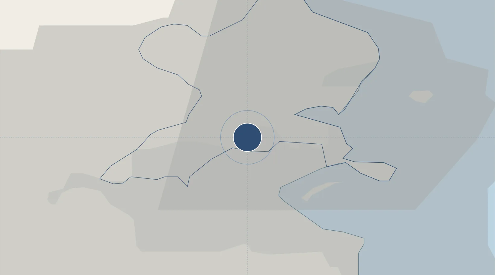
53.4287°, -6.2621°
10,203 ft
Longest runway
3
Runways
242 ft
Elevation
Runway & Layout

Radio Frequencies
ATIS
124.525 MHz
TWR
118.6 MHz
GND
121.8 MHz
CLD
121.875 MHz
CLNC DEL
APP
121.1 MHz
INFO
118.5 MHz
FIS
Navaids
DAP VOR-DME Dublin 111.20 MHz
DUB VOR-DME Dublin 114.90 MHz
GAR NDB Garristown 407 kHz
GMN NDB-DME Gormanston 0.33 MHz
ID DME Dublin 108.90 MHz
KLY NDB Killiney 378 kHz
RSH NDB Rush 326 kHz
Runways · 3
| Runway | Dimensions | Surface | True heading | Lit |
|---|---|---|---|---|
| 10L/28R | 10,203 × 148ft | Concrete | 097° | ✓ |
| 10R/28L | 8,652 × 148ft | ASPH | 095° | ✓ |
| 16/34 | 6,798 × 148ft | Asphalt | 157° | ✓ |
Airport Specifications
IATA code
DUB
ICAO code
EIDW
Airport class
Large airport
Scheduled service
Yes
Runway surface
Concrete
Served city
Dublin
Location
Nearby Logistics Neighbours
Airports
- 1Weston Airport17 km
- 2Casement Air Base19 km
- 3Anglesey Airport116 km
- 4Isle of Man Airport130 km
- 5George Best Belfast City Airport135 km
Cities
- 1Coolock7 km
- 2Dublin8 km
- 3Blanchardstown9 km
- 4Whitestown10 km
- 5Dublin-Marine Terminal11 km
Ports
- 1Dublin9 km
- 2Drogheda32 km
- 3Greenore68 km
- 4Kilkeel72 km
- 5Warren Point75 km
Trade Zones
DatabookThe Record of Consolidated Knowledge
Ireland beyond logistics?